
1912 Map of Randolph
USGS Topo · Published 1912About this map
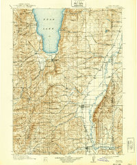
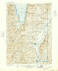
Bear Lake dominates the northern landscape of this 1912 survey, its southern shoreline meeting the fertile agricultural grounds of Round Valley. This era captures the high valley settlements of Rich County before modern infrastructure reshaped the region, centered on the county seat of Randolph and the village of Woodruff to the south. The Bear River meanders extensively through the eastern flats, providing a vital corridor for cattle ranching as evidenced by the numerous family-named holdings like Rex Ranch, Enberg Ranch, and Kennedy Ranch. To the west, the boundary of the Cache National Forest follows the high ridges of the Bear River Range, where Twin Peaks and Black Mtn overlook steep drainages such as Cottonwood Canyon and Pole Canyon. This map is a significant record for genealogists tracing early Utah and Wyoming border families, documenting established post offices at Laketown and Garden City alongside remote outposts like the Rangers Cabin.
Find a feature on this map
62 named features on this map. Tap any name to fly to it.
Don’t see what you’re looking for? This feature index may not catch every label — zoom into the map to look around manually.
Map Details
Editions of this 1912 Randolph Map
3 editions found
Other maps of this area

1909 · Montpelier
USGS Topo · 1:125,000

1911 · Montpelier
USGS Topo · 1:125,000

1914 · Logan
USGS Topo · 1:125,000

1915 · Preston
USGS Topo · 1:96,000

1916 · Logan
USGS Topo · 1:125,000

1918 · Preston
USGS Topo · 1:125,000

1936 · Cokeville
USGS Topo · 1:96,000

1942 · Cokeville
USGS Topo · 1:125,000

1949 · Boulter Mts
USGS Topo · 1:24,000

1954 · Sage
USGS Topo · 1:62,500