
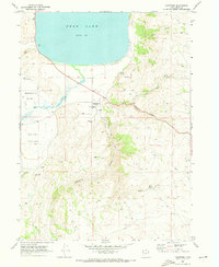
1968 Map of Randolph
USGS Topo · Published 1970About this map
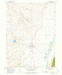
Randolph serves as the focal point of this Rich County landscape during the late 1960s, situated at the junction of organized street grids and the winding course of the Bear River. The map reveals a community defined by its water management and civic infrastructure, from the Randolph Ranger Sta and South Rich High Sch to the expansive Sage Creek Canal and Woodruff Extension Canal systems that dominate the eastern plains.
Find a feature on this map
39 named features on this map. Tap any name to fly to it.
Don’t see what you’re looking for? This feature index may not catch every label — zoom into the map to look around manually.
Map Details
Editions of this 1968 Randolph Map
2 editions found
Other maps of this area

1912 · Randolph
USGS Topo · 1:125,000

1954 · Ogden
USGS Topo · 1:250,000

1958 · Ogden
USGS Topo · 1:250,000

1960 · Ogden
USGS Topo · 1:250,000

1968 · Rex Peak
USGS Topo · 1:24,000

1968 · Woodruff
USGS Topo · 1:24,000
1968 · Woodruff Narrows
USGS Topo · 1:24,000
1969 · Leefe
USGS Topo · 1:24,000
1969 · Birch Creek Reservoirs
USGS Topo · 1:24,000
1969 · Laketown
USGS Topo · 1:24,000