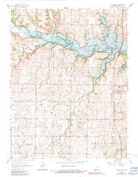
1964 Map of Randolph
USGS Topo · Published 1983About this map
Tuttle Creek Lake dominates the northern landscape of Riley County, following the winding course of the former river valley at a normal pool elevation of 1075 feet. This 1964 survey, updated with revisions from the early 1980s, captures the rural character of northern Kansas as the reservoir's waters reached into the valleys of Fancy Creek and Otter Creek. The settlement of Randolph sits on the eastern edge near Blue Valley High Sch, while the smaller communities of Winkler and Walsburg remain as central points for the surrounding agricultural community.
Find a feature on this map
25 named features on this map. Tap any name to fly to it.
Don’t see what you’re looking for? This feature index may not catch every label — zoom into the map to look around manually.
Map Details
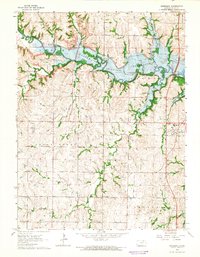
Editions of this 1964 Randolph Map
2 editions found
Other maps of this area

1886 · Junction City
USGS Topo · 1:125,000

1889 · Marysville
USGS Topo · 1:125,000

1889 · Junction City
USGS Topo · 1:125,000

1894 · Junction City
USGS Topo · 1:125,000

1894 · Marysville
USGS Topo · 1:125,000

1955 · Manhattan
USGS Topo · 1:250,000

1956 · Manhattan
USGS Topo · 1:250,000

1957 · Manhattan
USGS Topo · 1:250,000
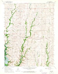
1963 · Bala
USGS Topo · 1:24,000
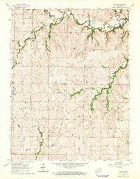
1963 · Lasita
USGS Topo · 1:24,000