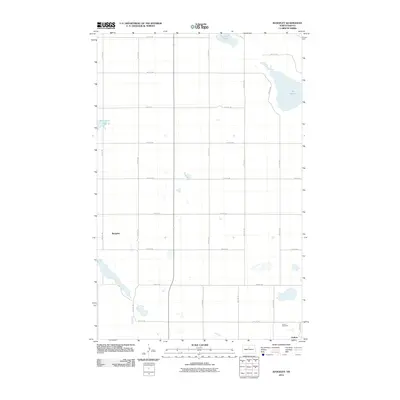
2011 Map of Rangeley
USGS Topo · Published 2011About this map
The prairie landscape of McHenry County is defined by a grid of rural roads and scattered glacial wetlands, as documented in this 2011 survey. The settlement of Guthrie anchors the southeastern corner of the map, situated along Guthrie Rd, while the area of Rangeley is located to the northwest. For genealogists and local historians, the Union Cemetery provides a specific point of reference for the families who settled this region of North Dakota. The terrain is marked by significant water bodies including Lake George, Lauinger Lake, and Herrington Lake, which break the regularity of the section lines. This document captures the agricultural layout and hydrology of the Great Plains before modern consolidation further altered the local road and drainage patterns.
Find a feature on this map
21 named features on this map. Tap any name to fly to it.
Don’t see what you’re looking for? This feature index may not catch every label — zoom into the map to look around manually.
Map Details
Editions of this 2011 Rangeley Map
This is the sole edition of this map. No revisions or reprints were ever made.
Other maps of this area

1929 · Balfour
USGS Topo · 1:62,500

1930 · Drake
USGS Topo · 1:62,500

1950 · Karlsruhe NE
USGS Topo · 1:24,000

1954 · Minot
USGS Topo · 1:250,000

1954 · McClusky
USGS Topo · 1:250,000

1955 · Rangeley NW
USGS Topo · 1:24,000

1955 · Rangeley NE
USGS Topo · 1:24,000

1957 · Karlsruhe
USGS Topo · 1:24,000

1957 · Rangeley SE
USGS Topo · 1:24,000

1957 · Rangeley
USGS Topo · 1:24,000