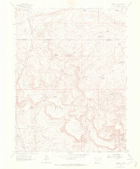
1962 Map of Rangely NE
USGS Topo · Published 1965About this map
Rangely Oil Field dominates the southern landscape of this 1960s survey, illustrating the industrial infrastructure of the region's energy development. Located along the Coal Oil Basin Rim, the map reveals a complex network of resource management and extraction, characterized by numerous water storage sites such as Rock Shale Reservoir and Burning Mine Reservoir. The terrain is marked by significant topographical landmarks like Spooky Mountain and the deep incisions of Scullion Gulch, showcasing the arid environment of northwest Colorado.
Find a feature on this map
24 named features on this map. Tap any name to fly to it.
Don’t see what you’re looking for? This feature index may not catch every label — zoom into the map to look around manually.
Map Details
Editions of this 1962 Rangely NE Map
2 editions found
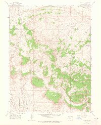
Other maps of this area
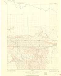
1907 · Rangely
USGS Topo · 1:125,000
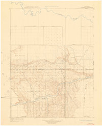
1910 · Rangely
USGS Topo · 1:125,000
1954 · Vernal
USGS Topo · 1:250,000
1958 · Vernal
USGS Topo · 1:250,000
1960 · Vernal
USGS Topo · 1:250,000
1962 · Lazy Y Point
USGS Topo · 1:24,000
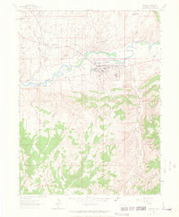
1962 · Rangely
USGS Topo · 1:24,000
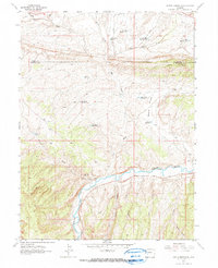
1962 · Cactus Reservoir
USGS Topo · 1:24,000
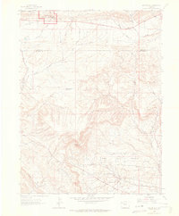
1962 · Mellen Hill
USGS Topo · 1:24,000
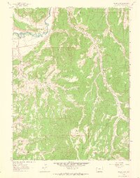
1962 · Gillam Draw
USGS Topo · 1:24,000