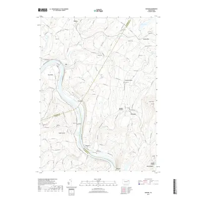
2019 Map of Ransom
USGS Topo · Published 2019About this map
The Susquehanna River carves a deep valley through this Pennsylvania landscape, creating a dramatic corridor where the communities of Falls, Wyoanna, and Ransom were established. In the late 2010s, this area maintains a network of rural settlements and family-named landmarks like Square Top and Griffin Hill. The mapping of cemetery sites, such as the Montanye Family Cem and the Saint Stanislaus Cem, provides essential points of reference for genealogists tracking early families in this tri-county border region.
Find a feature on this map
109 named features on this map. Tap any name to fly to it.
Don’t see what you’re looking for? This feature index may not catch every label — zoom into the map to look around manually.
Map Details
Editions of this 2019 Ransom Map
This is the sole edition of this map. No revisions or reprints were ever made.
Other maps of this area

1889 · Scranton
USGS Topo · 1:62,500

1891 · Scranton
USGS Topo · 1:62,500

1892 · Dundaff
USGS Topo · 1:62,500

1893 · Pittston
USGS Topo · 1:62,500

1893 · Scranton
USGS Topo · 1:62,500

1943 · Scranton
USGS Topo · 1:125,000

1946 · Tunkhannock
USGS Topo · 1:62,500

1946 · Dalton
USGS Topo · 1:24,000

1946 · Kingston
USGS Topo · 1:24,000
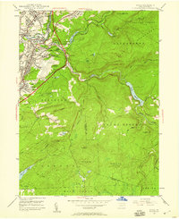
1946 · Avoca
USGS Topo · 1:24,000
Featured Places
- Falls Township, PA
- Glenburn Township, PA
- Ransom Township, PA
- Upper Exeter, Exeter Township
- Mill City, Falls Township