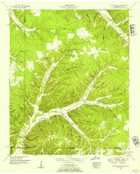
1950 Map of Ransom Stand
USGS Topo · Published 1954About this map
McFalls Ridge anchors this 1950s survey of the wooded highlands where Tennessee meets Alabama. The settlement pattern here is dictated by the deep hollows and creek beds, with small communities and family landmarks concentrated along Grassy Creek and Horse Creek. At Ransom Stand, the landscape reveals a cluster of social centers including the Centenary Cem and Johnson School, while the upland terrain is monitored by the Lutts Lookout Tower.
Find a feature on this map
49 named features on this map. Tap any name to fly to it.
Don’t see what you’re looking for? This feature index may not catch every label — zoom into the map to look around manually.
Map Details
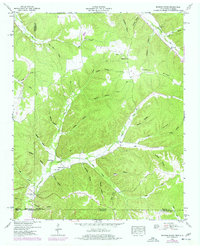
Editions of this 1950 Ransom Stand Map
2 editions found
Other maps of this area

1905 · Waynesboro
USGS Topo · 1:125,000

1911 · Iuka
USGS Topo · 1:48,000

1914 · Iuka
USGS Topo · 1:62,500

1924 · Gravelly Springs
USGS Topo · 1:48,000

1926 · Gravelly Springs
USGS Topo · 1:62,500

1935 · Wright
USGS Topo · 1:24,000

1936 · Wolf Pit Ridge
USGS Topo · 1:24,000

1936 · Waterloo
USGS Topo · 1:24,000

1936 · Threet
USGS Topo · 1:24,000

1936 · Cypress Inn
USGS Topo · 1:24,000