
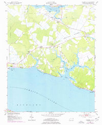
1951 Map of Ransomville
USGS Topo · Published 1953About this map
Pamlico River frontage and intricate tidal guts define this Beaufort County landscape during the early 1950s. The area is characterized by small rural settlements and crossroads that speak to the region's agricultural and maritime history. Notable community centers include Ransomville, Winsteadville, and Gaylord, with local spiritual life anchored by institutions like Holly Grove Ch, North Creek Ch, and Bethany Ch.
Find a feature on this map
57 named features on this map. Tap any name to fly to it.
Don’t see what you’re looking for? This feature index may not catch every label — zoom into the map to look around manually.
Map Details
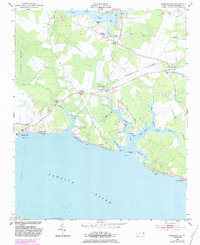
Editions of this 1951 Ransomville Map
3 editions found
Other maps of this area

1914 · Belhaven
USGS Topo · 1:48,000

1916 · Belhaven
USGS Topo · 1:62,500

1943 · Plymouth
USGS Topo · 1:125,000

1950 · Lowland
USGS Topo · 1:24,000

1950 · South Creek
USGS Topo · 1:24,000

1950 · Pinetown
USGS Topo · 1:24,000

1950 · Aurora
USGS Topo · 1:24,000

1951 · Bath
USGS Topo · 1:24,000

1951 · Pamlico Beach
USGS Topo · 1:24,000

1951 · Belhaven
USGS Topo · 1:24,000