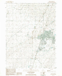
1984 Map of Rantoul
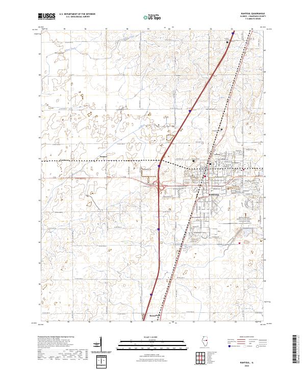
USGS Topo · Published 1985About this map
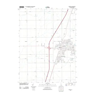
Chanute Air Force Base dominates the landscape of Champaign County in the mid-1980s, serving as a significant military installation adjacent to the town of Rantoul. This provisional survey illustrates the integration of military and civilian life, with the base featuring its own Sewage Disposal Plant and Golf Course alongside the residential growth of the village. The surrounding prairie is defined by agricultural drainage systems like Big Ditch and Wildcat Slough, while the Illinois Central Gulf railroad provides a north-south transportation spine through the communities of Ludlow, Tomlinson, and Thomasboro. Local history is anchored by several long-standing institutions, including Maplewood Cem, Elmwood Cem, and multiple educational facilities such as Thompson Sch and Northview Sch.
Find a feature on this map
28 named features on this map. Tap any name to fly to it.
Don’t see what you’re looking for? This feature index may not catch every label — zoom into the map to look around manually.
Map Details
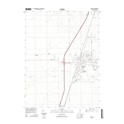
Editions of this 1984 Rantoul Map
This is the sole edition of this map. No revisions or reprints were ever made.
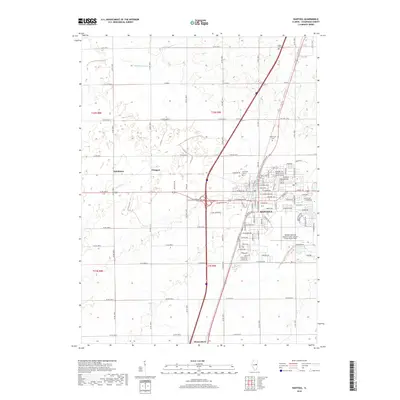
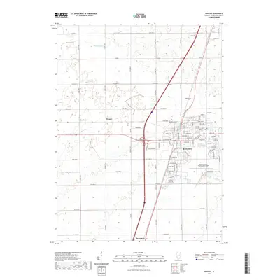
Historical Maps of Rantoul Through Time
6 maps found