
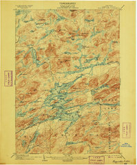
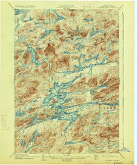
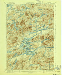
1903 Map of Raquette Lake
USGS Topo · Published 1903About this map
Raquette Lake dominates the central landscape of this 1903 survey, its intricate shoreline defined by numerous bays and points like Fox Pt. and North Pt. This Adirondack interior map reveals a wilderness transition where remote seasonal outposts and small settlements such as Hasbroucks, Woods, and Fish Camp are primary human landmarks. The importance of water travel during this era is evidenced by the established Steamboat Route cutting through the center of the lake, connecting the surrounding forest to the wider region.
Find a feature on this map
113 named features on this map. Tap any name to fly to it.
Don’t see what you’re looking for? This feature index may not catch every label — zoom into the map to look around manually.
Map Details
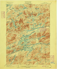
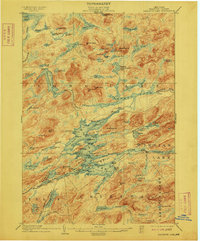
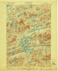
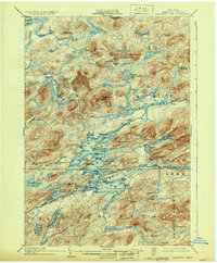
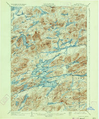
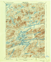
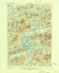
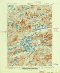
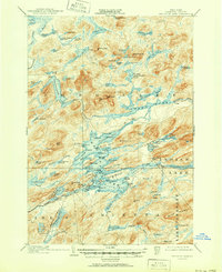
Editions of this 1903 Raquette Lake Map
13 editions found
1903 edition
16.6 x 20.1 inches
1906 edition
16.7 x 20.1 inches
1909 edition
16.6 x 20 inches
1912 edition
16.6 x 20 inches
1921 edition
16.6 x 20.1 inches
1926 edition
16.6 x 20.1 inches
1930 edition
16.6 x 20.1 inches
1933 edition
16.5 x 19.9 inches
1936 edition
16.6 x 20.1 inches
1940 edition
16.6 x 20.1 inches
1946 edition
17 x 20.9 inches
1947 edition
17.1 x 20.9 inches
1951 edition
17 x 20.9 inches
Other maps of this area

1899 · Indian Lake
USGS Topo · 1:62,500

1900 · Canada Lake
USGS Topo · 1:62,500

1901 · Old Forge
USGS Topo · 1:62,500

1902 · Indian Lake
USGS Topo · 1:62,500

1903 · Big Moose
USGS Topo · 1:62,500

1903 · West Canada Lakes
USGS Topo · 1:62,500

1903 · Blue Mountain
USGS Topo · 1:62,500

1904 · Long Lake
USGS Topo · 1:62,500

1907 · Tupper Lake
USGS Topo · 1:62,500

1919 · Cranberry Lake
USGS Topo · 1:62,500