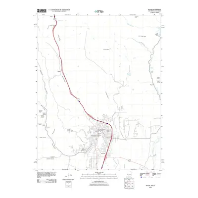
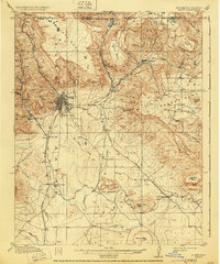
1914 Map of Raton
USGS Topo · Published 1940About this map
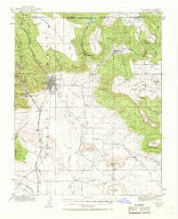
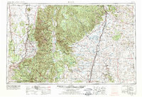
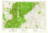
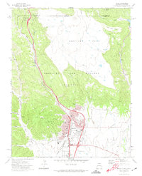
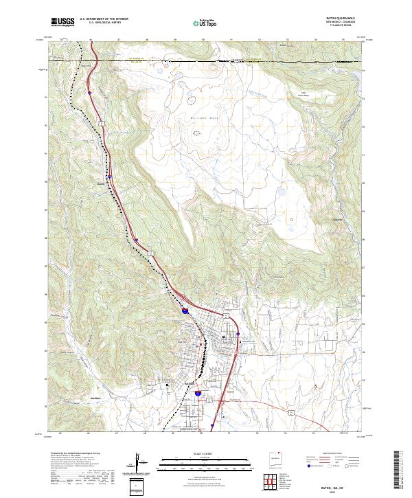
Raton serves as the central hub of this northern New Mexico territory, positioned just south of the Colorado New Mexico Darling Line 1868. The landscape is dominated by heavy rail activity and industrial coal mining, with the Atchison Topeka and Santa Fe Railroad and the St Louis Rocky Mountain and Pacific RR weaving through the mesa-topped terrain. Settlements such as Sugarite, Blossburg, and Gardiner are scattered near canyon mouths, where the topography allows for development between the massive forms of Bartlett Mesa and Johnson Mesa. The presence of the Wagon Mine and smaller junctions like Yankee and Carisbrook highlight the era's dependence on resource extraction. Water sources like Lake Alice and the headwaters of the Canadian River provide a sharp contrast to the surrounding highlands, while historic landmarks such as Clifton House mark the early ranching and travel roots of Colfax County.
Find a feature on this map
52 named features on this map. Tap any name to fly to it.
Don’t see what you’re looking for? This feature index may not catch every label — zoom into the map to look around manually.
Map Details
Editions of this 1914 Raton Map
5 editions found
Historical Maps of Raton Through Time
11 maps found