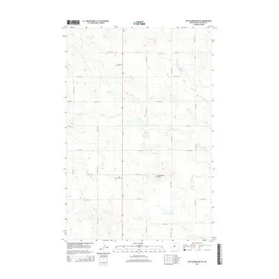
2014 Map of Rattlesnake Butte
USGS Topo · Published 2014About this map
Rattlesnake Butte rises as a prominent landmark in the high plains of Billings County, anchoring a landscape shaped by the Green River and its southern tributary, the S Fork Green River. This 2014 survey captures a rural section of North Dakota where the grid of sectional roads like 127th Ave SW and 26th St SW intersects with the north-south corridor of Us-85. Local history is anchored by two distinct religious sites, Saint Marys Cem in the northern portion and Saint Boniface Cem further south, suggesting established community nodes in an otherwise sparsely populated ranching or farming region. Small drainage systems such as Spring Cr and Horse Cr carve subtle valleys into the topography, illustrating the natural drainage patterns that define this part of the Missouri Plateau.
Find a feature on this map
23 named features on this map. Tap any name to fly to it.
Don’t see what you’re looking for? This feature index may not catch every label — zoom into the map to look around manually.
Map Details
Editions of this 2014 Rattlesnake Butte Map
This is the sole edition of this map. No revisions or reprints were ever made.
Other maps of this area

1953 · Dickinson
USGS Topo · 1:250,000

1953 · Watford City
USGS Topo · 1:250,000

1957 · Dickinson
USGS Topo · 1:250,000

1957 · Watford City
USGS Topo · 1:250,000

1962 · Fryburg NE
USGS Topo · 1:24,000

1962 · Belfield NE
USGS Topo · 1:24,000

1962 · Belfield
USGS Topo · 1:24,000

1963 · Fairfield SE
USGS Topo · 1:24,000

1963 · Fairfield
USGS Topo · 1:24,000

1963 · Gorham SE
USGS Topo · 1:24,000