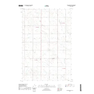
2017 Map of Rattlesnake Butte
USGS Topo · Published 2017About this map
Saint Boniface Cem and Saint Marys Cem stand as the primary local landmarks in this section of Billings County, marking the burial grounds for the rural Catholic communities that settled this part of the North Dakota plains. The landscape is defined by the winding course of the Green River, which cuts across the central section of the map, and its tributary, the S Fork Green River, providing the essential drainage and water sources for the surrounding agricultural tracts. The terrain rises to the distinct prominence of Rattlesnake Butte in the southeast, a localized high point that breaks the rolling prairie. A structured grid of section lines and gravel routes, including S Ash Coulee Rd and Franks Creek Rd, provides the infrastructure for the sprawling farms and ranches that characterize this modern era of Great Plains land use.
Find a feature on this map
25 named features on this map. Tap any name to fly to it.
Don’t see what you’re looking for? This feature index may not catch every label — zoom into the map to look around manually.
Map Details
Editions of this 2017 Rattlesnake Butte Map
This is the sole edition of this map. No revisions or reprints were ever made.
Other maps of this area

1953 · Dickinson
USGS Topo · 1:250,000

1953 · Watford City
USGS Topo · 1:250,000

1957 · Dickinson
USGS Topo · 1:250,000

1957 · Watford City
USGS Topo · 1:250,000

1962 · Fryburg NE
USGS Topo · 1:24,000

1962 · Belfield NE
USGS Topo · 1:24,000

1962 · Belfield
USGS Topo · 1:24,000

1963 · Fairfield SE
USGS Topo · 1:24,000

1963 · Fairfield
USGS Topo · 1:24,000

1963 · Gorham SE
USGS Topo · 1:24,000