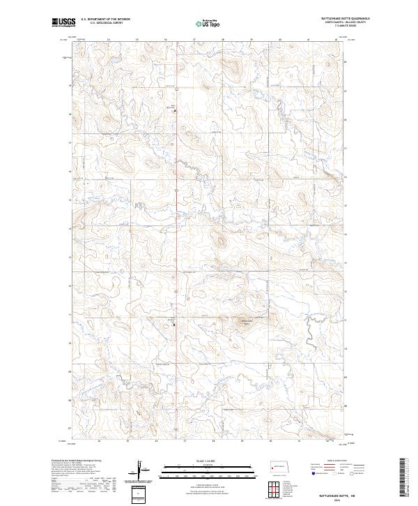
2024 Map of Rattlesnake Butte
USGS Topo · Published 2024About this map
Saint Marys Cem and Saint Boniface Cem stand as quiet markers of settlement within the expansive terrain of Billings County. This landscape is defined by the drainage of the Green River, which flows across the central sections, joined by the South Fork Green River in the south and Spring Creek to the northeast. The topography is anchored by Rattlesnake Butte, a prominent landmark that overlooks a network of rural section-line roads and local routes like S Ash Coulee Rd and Franks Creek Rd. The map reveals the structured division of the land into townships such as t142n r99w and t141n r98w, reflecting the long-standing Public Land Survey System that continues to organize this North Dakota interior.
Find a feature on this map
25 named features on this map. Tap any name to fly to it.
Don’t see what you’re looking for? This feature index may not catch every label — zoom into the map to look around manually.
Map Details
Editions of this 2024 Rattlesnake Butte Map
This is the sole edition of this map. No revisions or reprints were ever made.
Other maps of this area

1953 · Dickinson
USGS Topo · 1:250,000

1953 · Watford City
USGS Topo · 1:250,000

1957 · Dickinson
USGS Topo · 1:250,000

1957 · Watford City
USGS Topo · 1:250,000

1962 · Fryburg NE
USGS Topo · 1:24,000

1962 · Belfield NE
USGS Topo · 1:24,000

1962 · Belfield
USGS Topo · 1:24,000

1963 · Fairfield SE
USGS Topo · 1:24,000

1963 · Fairfield
USGS Topo · 1:24,000

1963 · Gorham SE
USGS Topo · 1:24,000