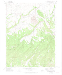
1971 Map of Rattlesnake Butte
USGS Topo · Published 1974About this map
Industrial activity and rugged terrain define this portion of the Colorado landscape in the early 1970s. The Energy Mine (Strip) and Edna Mine (Strip) dominate the northern and eastern sections of the map, illustrating the significant role of surface mining in the local economy. Supporting this industry is the Denver and Rio Grande Western railroad, which winds through the hills alongside a Tipple used for loading coal.
Find a feature on this map
26 named features on this map. Tap any name to fly to it.
Don’t see what you’re looking for? This feature index may not catch every label — zoom into the map to look around manually.
Map Details
Editions of this 1971 Rattlesnake Butte Map
2 editions found
Other maps of this area

1924 · Mt. Harris
USGS Topo · 1:48,000

1926 · Mount Harris
USGS Topo · 1:62,500

1954 · Craig
USGS Topo · 1:250,000

1957 · Craig
USGS Topo · 1:250,000

1958 · Craig
USGS Topo · 1:250,000

1960 · Craig
USGS Topo · 1:250,000

1962 · Craig
USGS Topo · 1:250,000

1964 · Craig
USGS Topo · 1:250,000

1965 · Craig
USGS Topo · 1:250,000
1966 · Dunckley Pass
USGS Topo · 1:24,000