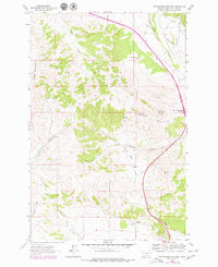
1962 Map of Rattlesnake Mountain
USGS Topo · Published 1979About this map
Rattlesnake Mountain and Baldy Mountain define this stretch of the Montana landscape, captured during the early 1960s with updates through the late 1970s. The map illustrates a transitional period for regional land use, where established homesteads like the Old Synnes Ranch and Old Thorne Ranch sit alongside developing infrastructure. The inclusion of the Gates of the Mountains Interchange in purple revision markings highlights the growing connectivity of this high-elevation terrain with broader transportation networks. Below the peaks, the drainage patterns of McLeod Basin and Hilger Valley reveal a complex network of seasonal flows and gulches. Evidence of resource exploration appears at a Prospect site near Trust-to-Luck Gulch, providing a specific data point for those researching historical mining activity or local ranching genealogy in the vicinity of McLeod Gulch.
Find a feature on this map
23 named features on this map. Tap any name to fly to it.
Don’t see what you’re looking for? This feature index may not catch every label — zoom into the map to look around manually.
Map Details
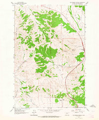
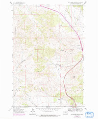
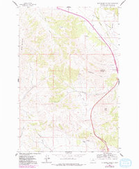
Editions of this 1962 Rattlesnake Mountain Map
4 editions found
Other maps of this area

1886 · Fort Logan
USGS Topo · 1:250,000

1889 · Helena
USGS Topo · 1:250,000

1893 · Helena
USGS Topo · 1:250,000

1899 · Helena
USGS Topo · 1:62,500

1899 · Helena
USGS Topo · 1:250,000

1903 · Helena
USGS Topo · 1:250,000

1947 · Butte
USGS Topo · 1:250,000

1948 · White Sulphur Springs
USGS Topo · 1:250,000

1950 · East Helena
USGS Topo · 1:62,500

1950 · Helena
USGS Topo · 1:62,500