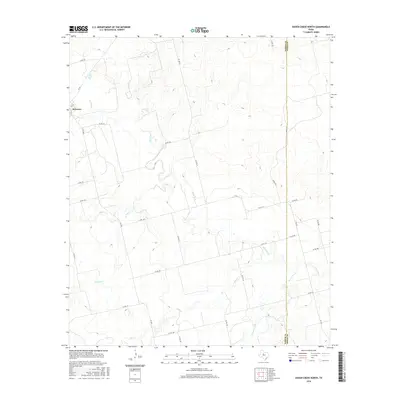
2016 Map of Raven Creek North
USGS Topo · Published 2016About this map
The community of Sylvester anchors the western edge of this landscape, situated along the county line separating Fisher Co and Jones Co. This part of West Texas is defined by a dendritic network of drainages that feed into the winding path of the Clear Fork of the Brazos River. Smaller tributaries such as China Cr, E China Cr, and Dry Cr carve through the terrain, while Raven Creek runs along the eastern boundary of the survey. The map reveals a rural economy organized around an extensive grid of farm-to-market roads and county routes, including FM 1085 and FM 1812. This 2016 survey documents the modern land divisions and water courses of the region, providing a baseline for understanding the hydrologic and transit patterns of these two neighboring counties.
Find a feature on this map
31 named features on this map. Tap any name to fly to it.
Don’t see what you’re looking for? This feature index may not catch every label — zoom into the map to look around manually.
Map Details
Editions of this 2016 Raven Creek North Map
This is the sole edition of this map. No revisions or reprints were ever made.
Other maps of this area

1893 · Roby
USGS Topo · 1:125,000

1931 · Rotan
USGS Topo · 1:62,500

1954 · Big Spring
USGS Topo · 1:250,000

1957 · Noodle
USGS Topo · 1:62,500

1958 · Big Spring
USGS Topo · 1:250,000
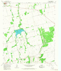
1965 · Neinda
USGS Topo · 1:24,000

1965 · McCaulley
USGS Topo · 1:24,000

1969 · Eskota
USGS Topo · 1:24,000
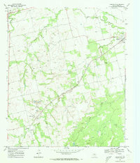
1969 · Longworth
USGS Topo · 1:24,000
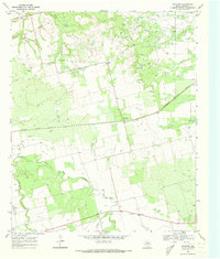
1969 · Royston
USGS Topo · 1:24,000