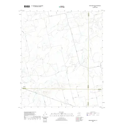
2019 Map of Raven Creek South
USGS Topo · Published 2019About this map
Eskota sits at the southwestern corner of this landscape, where four West Texas counties converge in a network of seasonal drainages and rural county roads. The terrain is defined by the complex branching of the S Fork and the serpentine path of Sweetwater Cr, which cuts through the central portion of the quadrangle. This 2019 survey documents the intersection of Fisher, Jones, Nolan, and Taylor counties, capturing a contemporary view of the region's long-established ranching and agricultural boundaries.
Find a feature on this map
35 named features on this map. Tap any name to fly to it.
Don’t see what you’re looking for? This feature index may not catch every label — zoom into the map to look around manually.
Map Details
Editions of this 2019 Raven Creek South Map
This is the sole edition of this map. No revisions or reprints were ever made.
Other maps of this area

1893 · Roby
USGS Topo · 1:125,000

1893 · Sweetwater
USGS Topo · 1:125,000

1954 · Big Spring
USGS Topo · 1:250,000

1957 · Merkel
USGS Topo · 1:62,500

1957 · Noodle
USGS Topo · 1:62,500

1958 · Big Spring
USGS Topo · 1:250,000

1969 · Eskota
USGS Topo · 1:24,000
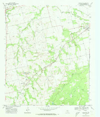
1969 · Longworth
USGS Topo · 1:24,000
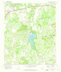
1969 · Lake Sweetwater
USGS Topo · 1:24,000
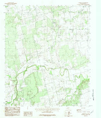
1984 · Noodle NE
USGS Topo · 1:24,000