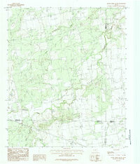
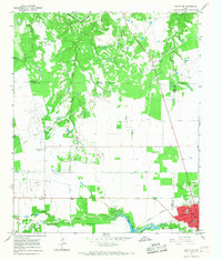
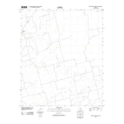
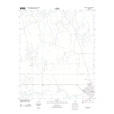
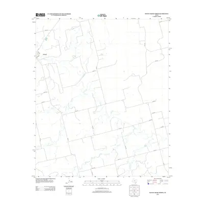
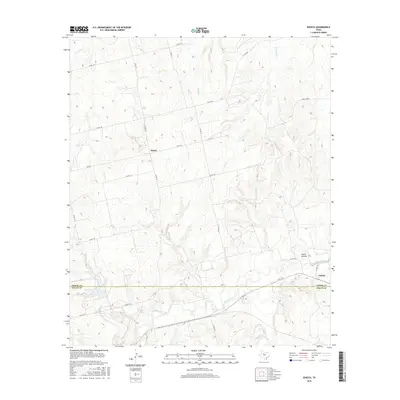
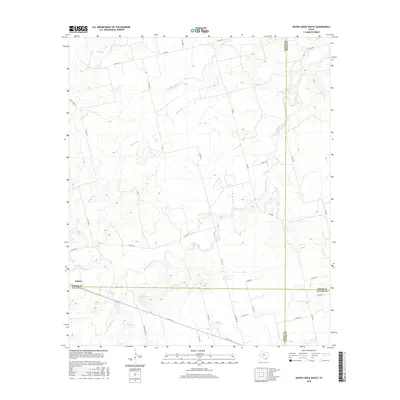
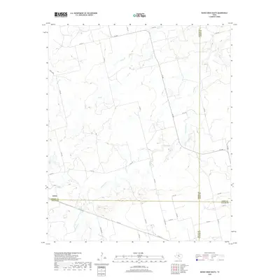
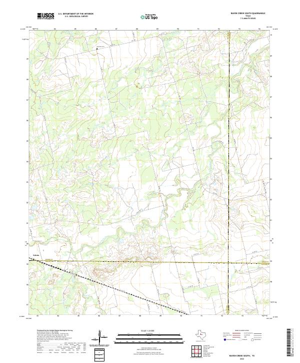
1984 Map of Raven Creek South
USGS Topo · Published 1984About this map
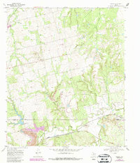
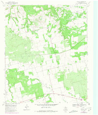
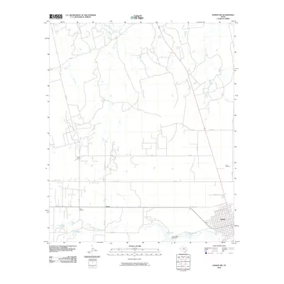
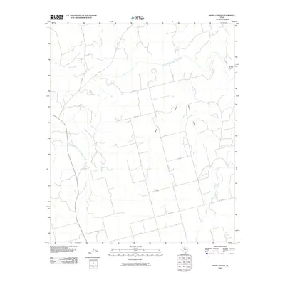
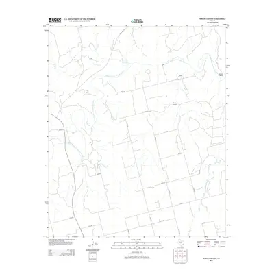
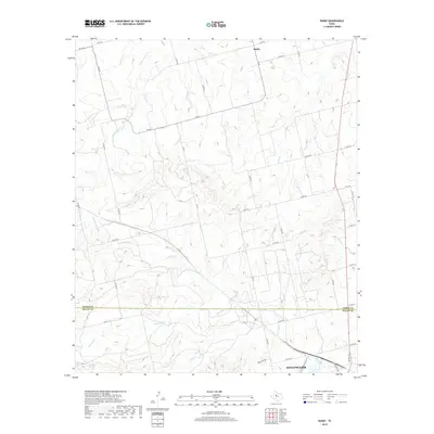
Sweetwater Creek winds through this West Texas landscape where the boundaries of four counties—Fisher, Jones, Nolan, and Taylor—converge. This mid-1980s provisional survey illustrates a rural terrain defined by its drainage networks, featuring the Raven Creek system and its South Fork Raven Creek. The map provides a detailed view of the natural watercourses that have historically shaped land use and property lines in this section of the state.
Find a feature on this map
10 named features on this map. Tap any name to fly to it.
Don’t see what you’re looking for? This feature index may not catch every label — zoom into the map to look around manually.
Map Details
Editions of this 1984 Raven Creek South Map
This is the sole edition of this map. No revisions or reprints were ever made.
Historical Maps of Eskota Through Time
81 maps found
1926 Roby 2-b
Fisher County, TX
1926 Snyder 1-a
Fisher County, TX
1932 Camp Springs
Fisher County, TX
1965 Hamlin NW
Fisher County, TX
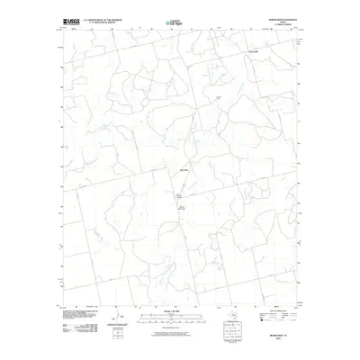
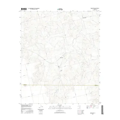
1969 Bernecker
Fisher County, TX
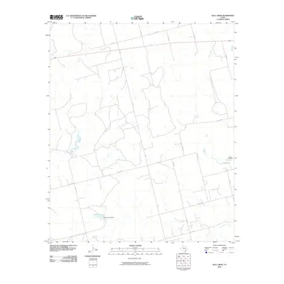
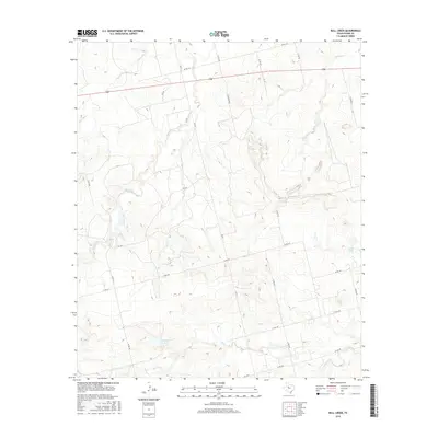
1969 Bull Creek
Fisher County, TX
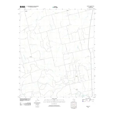
1969 Busby
Fisher County, TX
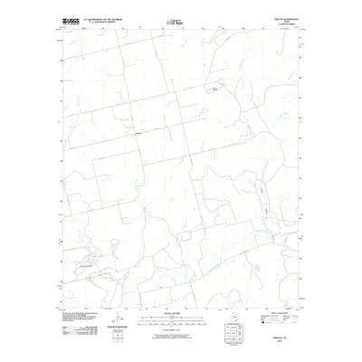
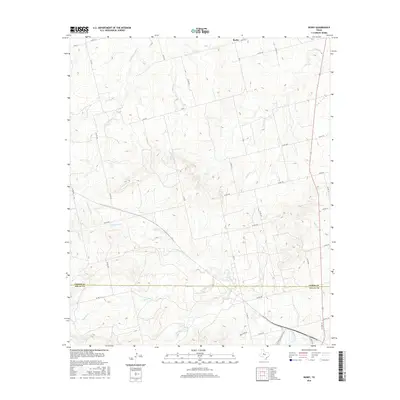
1969 Eskota
Fisher County, TX
1969 Hobbs
Fisher County, TX
1969 Longworth
Fisher County, TX
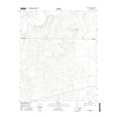
1969 Poke Mountain
Fisher County, TX
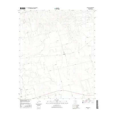
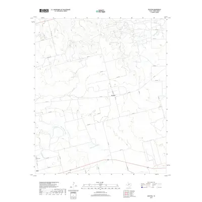
1969 Royston
Fisher County, TX
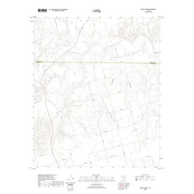
1969 Tige Canyon
Fisher County, TX
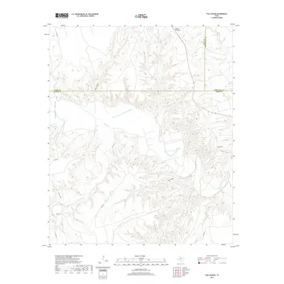
1969 White Canyon
Fisher County, TX
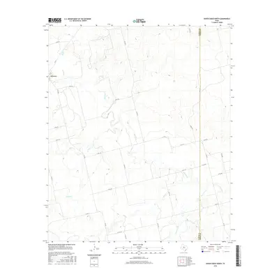
1984 Raven Creek North
Fisher County, TX
1984 Raven Creek South
Fisher County, TX
2010 Bernecker
Fisher County, TX
2010 Bull Creek
Fisher County, TX
2010 Busby
Fisher County, TX
2010 Eskota
Fisher County, TX
2010 Hamlin NW
Fisher County, TX
2010 Hobbs
Fisher County, TX
2010 Longworth
Fisher County, TX
2010 Poke Mountain
Fisher County, TX
2010 Raven Creek North
Fisher County, TX
2010 Raven Creek South
Fisher County, TX
2010 Royston
Fisher County, TX
2010 Tige Canyon
Fisher County, TX
2010 White Canyon
Fisher County, TX
2012 Bernecker
Fisher County, TX

2012 Bull Creek
Fisher County, TX
2012 Busby
Fisher County, TX
2012 Eskota
Fisher County, TX
2012 Hamlin NW
Fisher County, TX
2012 Hobbs
Fisher County, TX
2012 Longworth
Fisher County, TX
2012 Poke Mountain
Fisher County, TX
2012 Raven Creek North
Fisher County, TX
2012 Raven Creek South
Fisher County, TX
2012 Royston
Fisher County, TX
2012 Tige Canyon
Fisher County, TX
2012 White Canyon
Fisher County, TX
2016 Bernecker
Fisher County, TX
2016 Bull Creek
Fisher County, TX
2016 Busby
Fisher County, TX
2016 Eskota
Fisher County, TX
2016 Hamlin NW
Fisher County, TX
2016 Hobbs
Fisher County, TX
2016 Longworth
Fisher County, TX
2016 Poke Mountain
Fisher County, TX
2016 Raven Creek North
Fisher County, TX
2016 Raven Creek South
Fisher County, TX
2016 Royston
Fisher County, TX
2016 Tige Canyon
Fisher County, TX
2016 White Canyon
Fisher County, TX
2019 Bernecker
Fisher County, TX
2019 Bull Creek
Fisher County, TX
2019 Busby
Fisher County, TX
2019 Eskota
Fisher County, TX
2019 Hamlin NW
Fisher County, TX
2019 Hobbs
Fisher County, TX
2019 Longworth
Fisher County, TX
2019 Poke Mountain
Fisher County, TX
2019 Raven Creek North
Fisher County, TX
2019 Raven Creek South
Fisher County, TX
2019 Royston
Fisher County, TX
2019 Tige Canyon
Fisher County, TX
2019 White Canyon
Fisher County, TX
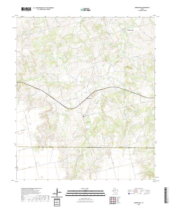
2022 Bernecker
Fisher County, TX
2022 Bull Creek
Fisher County, TX
2022 Busby
Fisher County, TX
2022 Eskota
Fisher County, TX
2022 Hamlin NW
Fisher County, TX
2022 Hobbs
Fisher County, TX
2022 Longworth
Fisher County, TX
2022 Poke Mountain
Fisher County, TX
2022 Raven Creek North
Fisher County, TX
2022 Raven Creek South
Fisher County, TX
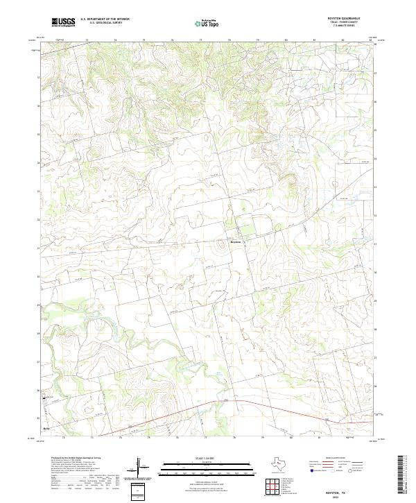
2022 Royston
Fisher County, TX
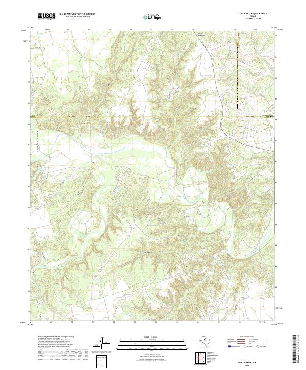
2022 Tige Canyon
Fisher County, TX
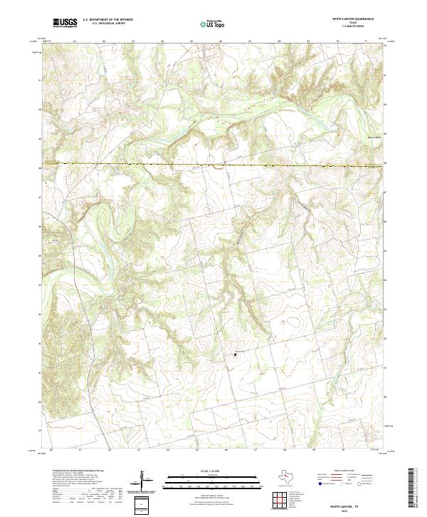
2022 White Canyon
Fisher County, TX