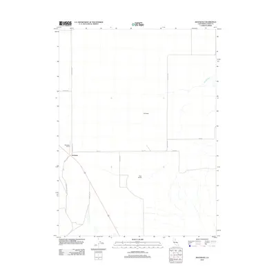
2012 Map of Ravendale
USGS Topo · Published 2012About this map
Ravendale stands as a quiet focal point in the high desert of Lassen County, where the infrastructure of ranching and remote transit defines the landscape. This 2012 survey illustrates the sparse network of roads that connect the isolated community to its surroundings, including the local Ravendale Airport. The topography is marked by volcanic features like Dill Butte and the distinctive Twin Buttes, which rise above the sagebrush-covered plains. Named routes such as Chicken Ranch Rd, School House Rd, and Mail Route Rd indicate the historical functions of these paths for early settlers and agriculture. Water is a rare commodity in this arid terrain, with the seasonal flow of Cold Spring Cr. appearing as a vital resource for the livestock and wildlife that traverse the basin.
Find a feature on this map
14 named features on this map. Tap any name to fly to it.
Don’t see what you’re looking for? This feature index may not catch every label — zoom into the map to look around manually.
Map Details
Editions of this 2012 Ravendale Map
This is the sole edition of this map. No revisions or reprints were ever made.
Other maps of this area
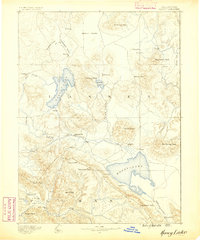
1886 · Honey Lake
USGS Topo · 1:250,000
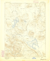
1891 · Honey Lake
USGS Topo · 1:250,000
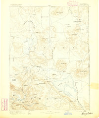
1893 · Honey Lake
USGS Topo · 1:250,000
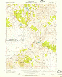
1954 · Observation Peak
USGS Topo · 1:62,500
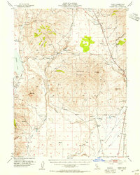
1954 · Karlo
USGS Topo · 1:62,500
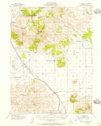
1954 · Ravendale
USGS Topo · 1:62,500
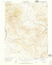
1954 · Shinn Mountain
USGS Topo · 1:62,500
1955 · Westwood
USGS Topo · 1:250,000
1958 · Westwood
USGS Topo · 1:250,000
1959 · Westwood
USGS Topo · 1:250,000