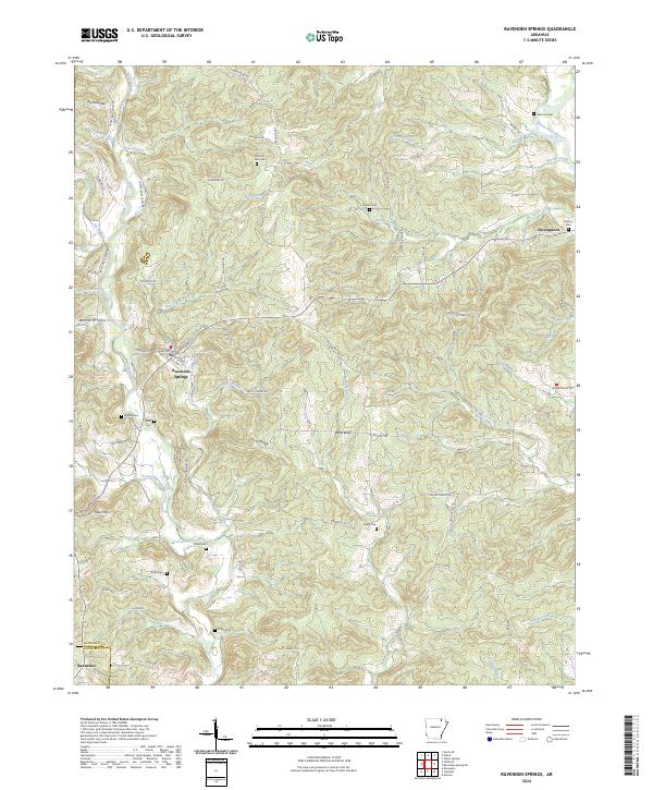
2024 Map of Ravenden Springs
USGS Topo · Published 2024About this map
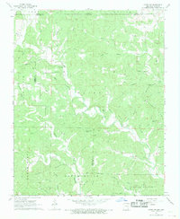
Ravenden Springs and the surrounding Ozark foothills are defined by a network of creeks and small family cemeteries that trace the heritage of Randolph Co. This area is carved by the Eleven Point River in the northeast, while the interior is marked by prominent terrain features like Locust Ridge and Baker Bluff. The map provides an exceptionally detailed look at rural lineage through numerous burial sites, including Charter Oak Cem, Rickman Cem, and Wyatte Cem. Settlement patterns follow the winding paths of Janes Creek and Hall Creek, with old routes like Old Jackson Rd and Seed Tick Rd connecting the scattered homesteads. The small community of Elevenpoint sits near the river, anchoring a landscape where agriculture and natural hydrology have shaped the land for generations.
Find a feature on this map
84 named features on this map. Tap any name to fly to it.
Don’t see what you’re looking for? This feature index may not catch every label — zoom into the map to look around manually.
Map Details
Editions of this 2024 Ravenden Springs Map
This is the sole edition of this map. No revisions or reprints were ever made.
Other maps of this area

1934 · Powhatan
USGS Topo · 1:62,500

1935 · Powhatan
USGS Topo · 1:62,500

1957 · Poplar Bluff
USGS Topo · 1:250,000

1959 · Poplar Bluff
USGS Topo · 1:250,000

1960 · Poplar Bluff
USGS Topo · 1:250,000

1966 · Ravenden Springs
USGS Topo · 1:24,000
1966 · Ravenden Springs SE
USGS Topo · 1:24,000
1966 · Imboden
USGS Topo · 1:24,000
1967 · Warm Springs
USGS Topo · 1:24,000
1968 · Hardy NE
USGS Topo · 1:24,000