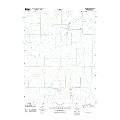
2011 Map of Ravenwood
USGS Topo · Published 2011About this map
Ravenwood serves as a primary hub in this Missouri landscape, where the Platte River meanders south through Jackson Township. The map illustrates a predominantly agricultural grid defined by numerous secondary roads such as Panther Rd and Mahogany Rd. In the southern portion of the quadrangle, the settlements of Conception Junction and Clyde sit adjacent to one another along the Chicago Ave corridor, reflecting the clustered development patterns typical of local trade centers near water sources like Wildcat Creek.
Find a feature on this map
33 named features on this map. Tap any name to fly to it.
Don’t see what you’re looking for? This feature index may not catch every label — zoom into the map to look around manually.
Map Details
Editions of this 2011 Ravenwood Map
This is the sole edition of this map. No revisions or reprints were ever made.
Other maps of this area

1925 · Stanberry
USGS Topo · 1:62,500

1927 · Bolckow
USGS Topo · 1:62,500

1939 · Stanberry
USGS Topo · 1:62,500

1940 · Parnell
USGS Topo · 1:62,500

1943 · Parnell
USGS Topo · 1:62,500

1943 · Maryville
USGS Topo · 1:62,500

1943 · Stanberry
USGS Topo · 1:62,500

1945 · Bolckow
USGS Topo · 1:62,500

1955 · Nebraska City
USGS Topo · 1:250,000

1957 · Nebraska City
USGS Topo · 1:250,000