2021 Map of Ravenwood
USGS Topo · Published 2021About this map
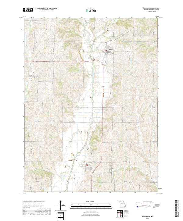
Ravenwood serves as the central hub of this agricultural landscape in Nodaway County, situated near the headwaters of several drainages including Munkres Br and Honey Cr. The terrain is defined by the broad valley of the Platte River, which flows southward toward the adjacent settlements of Conception Junction and Clyde. These communities are connected by a grid of rural routes such as State Hwy MM and State Hwy E, reflecting a long-standing pattern of homesteads and farm-to-market access.
Find a feature on this map
48 named features on this map. Tap any name to fly to it.
Don’t see what you’re looking for? This feature index may not catch every label — zoom into the map to look around manually.
Map Details
Editions of this 2021 Ravenwood Map
This is the sole edition of this map. No revisions or reprints were ever made.
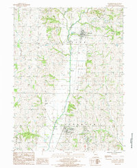
Historical Maps of Ravenwood Through Time
Featured Locations
- Jackson Township, MO
- Jefferson Township, MO
- Conception Junction, Jefferson Township
- Clyde, Jefferson Township
- Ravenwood, Jackson Township