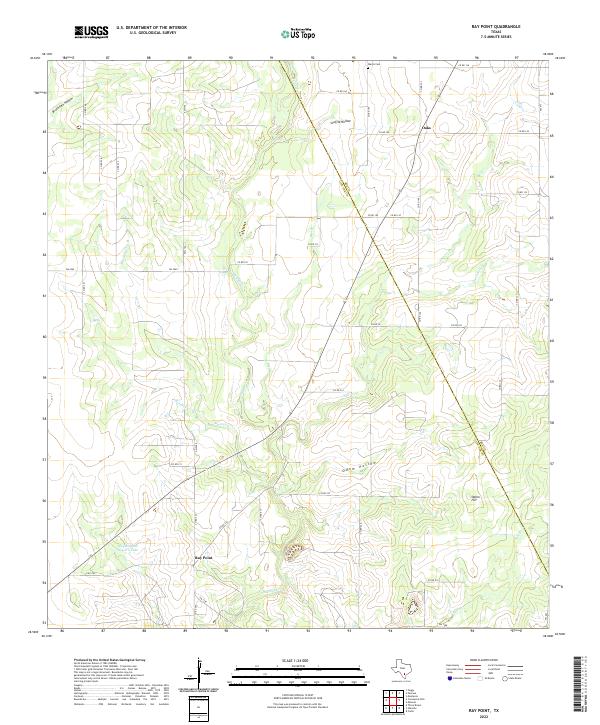
2022 Map of Ray Point
USGS Topo · Published 2022About this map
The settlement of Ray Point anchors this portion of Live Oak County, where the landscape is defined by the branching tributaries of the Nueces River basin. The terrain transitions from the low-lying Susquehanna Western Lake toward the elevations of Odom Hill, intersected by numerous named drainages such as Sulphur Cr and Mustang Cr. These watercourses dictate the historical road patterns, with the county boundary between Bee and Live Oak cutting diagonally through the ranchlands.
Find a feature on this map
50 named features on this map. Tap any name to fly to it.
Don’t see what you’re looking for? This feature index may not catch every label — zoom into the map to look around manually.
Map Details
Editions of this 2022 Ray Point Map
This is the sole edition of this map. No revisions or reprints were ever made.
Other maps of this area

1920 · Mikeska
USGS Topo · 1:125,000

1927 · Oakville
USGS Topo · 1:62,500

1936 · Pettus
USGS Topo · 1:62,500

1953 · Crystal City
USGS Topo · 1:250,000

1953 · Beeville
USGS Topo · 1:250,000

1954 · Fleming
USGS Topo · 1:62,500

1955 · Crystal City
USGS Topo · 1:250,000

1956 · Suniland
USGS Topo · 1:62,500

1956 · Beeville
USGS Topo · 1:250,000

1956 · Pettus
USGS Topo · 1:62,500