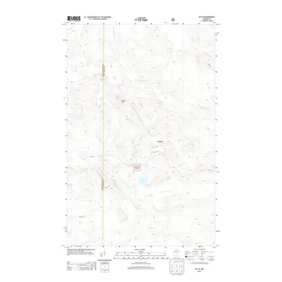
2013 Map of Ray SE
USGS Topo · Published 2013About this map
Arbutus sits within a landscape defined by the dense hydrological network of the Rat Root River and its various branches. This 2013 survey illustrates the convergence of these waterways with smaller tributaries like Kinmount Cr and secluded basins such as Pearl Lake and Little Lake. The terrain is characterized by the modest elevation of Indian Hill and the protected lands of the Superior National Forest, where the boundary between Koochiching and St. Louis Counties cuts a straight line through the timber. Transportation in this northern Minnesota corridor relies on a grid of forest service and local roads, including Budris Rd, Biondich Rd, and S. F. R. 520, which provide access to the remote interior and river crossings.
Find a feature on this map
15 named features on this map. Tap any name to fly to it.
Don’t see what you’re looking for? This feature index may not catch every label — zoom into the map to look around manually.
Map Details
Editions of this 2013 Ray SE Map
This is the sole edition of this map. No revisions or reprints were ever made.
Other maps of this area

1954 · International Falls
USGS Topo · 1:250,000

1957 · International Falls
USGS Topo · 1:250,000

1958 · International Falls
USGS Topo · 1:250,000

1968 · Daley Bay
USGS Topo · 1:24,000

1968 · Ash Lake
USGS Topo · 1:24,000

1968 · Ash River SW
USGS Topo · 1:24,000

1969 · Ray SE
USGS Topo · 1:24,000

1969 · Ray
USGS Topo · 1:24,000

1969 · Ray SW
USGS Topo · 1:24,000

1969 · Kabetogama
USGS Topo · 1:24,000