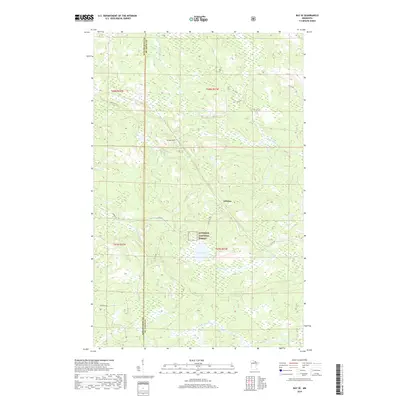
2019 Map of Ray SE
USGS Topo · Published 2019About this map
Arbutus sits at the heart of this Northwoods landscape, where the Superior National Forest encompasses a complex network of wetlands and boreal waterways. The terrain is defined by low-lying drainages like the Kinmount Cr and the winding course of the E Br Rat Root River, which meanders through several townships. High ground is represented by landmarks such as Indian Hill, providing a contrast to the surrounding basins that hold Pearl Lake and Little Lake.
Find a feature on this map
19 named features on this map. Tap any name to fly to it.
Don’t see what you’re looking for? This feature index may not catch every label — zoom into the map to look around manually.
Map Details
Editions of this 2019 Ray SE Map
This is the sole edition of this map. No revisions or reprints were ever made.
Other maps of this area

1954 · International Falls
USGS Topo · 1:250,000

1957 · International Falls
USGS Topo · 1:250,000

1958 · International Falls
USGS Topo · 1:250,000

1968 · Daley Bay
USGS Topo · 1:24,000

1968 · Ash Lake
USGS Topo · 1:24,000

1968 · Ash River SW
USGS Topo · 1:24,000

1969 · Ray SE
USGS Topo · 1:24,000

1969 · Ray
USGS Topo · 1:24,000

1969 · Ray SW
USGS Topo · 1:24,000

1969 · Kabetogama
USGS Topo · 1:24,000