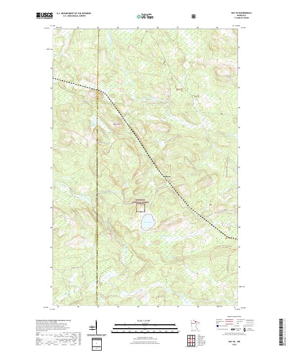
2022 Map of Ray SE
USGS Topo · Published 2022About this map
Superior National Forest defines the character of this northern landscape where the Koochiching Co St Louis Co line intersects a dense network of forest roads and trails. The drainage of the Rat Root River and its various branches, including the E Br Rat Root River, dominates the local topography. At the small settlement of Arbutus, the terrain transitions toward the higher ground of Indian Hill, which is circumscribed by numerous utility and logging spurs such as the Indian Hill Spur C Trl. The area is marked by a complex system of water and timber management routes, including family or place-named paths like Biondich Rd and the Rat Root Cascade Spur F Trl. For researchers, the presence of isolated water bodies like Pearl Lake and Little Lake among these forest sections provides clear markers for tracing historical land use and environmental shifts in the Minnesota Northwoods.
Find a feature on this map
35 named features on this map. Tap any name to fly to it.
Don’t see what you’re looking for? This feature index may not catch every label — zoom into the map to look around manually.
Map Details
Editions of this 2022 Ray SE Map
This is the sole edition of this map. No revisions or reprints were ever made.
Other maps of this area

1954 · International Falls
USGS Topo · 1:250,000

1957 · International Falls
USGS Topo · 1:250,000

1958 · International Falls
USGS Topo · 1:250,000

1968 · Daley Bay
USGS Topo · 1:24,000

1968 · Ash Lake
USGS Topo · 1:24,000

1968 · Ash River SW
USGS Topo · 1:24,000

1969 · Ray SE
USGS Topo · 1:24,000

1969 · Ray
USGS Topo · 1:24,000

1969 · Ray SW
USGS Topo · 1:24,000

1969 · Kabetogama
USGS Topo · 1:24,000