
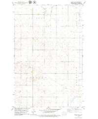
1978 Map of Ray
USGS Topo · Published 1979About this map
Ray serves as the primary hub of this Williams County prairie landscape, organized around the Burlington Northern railroad corridor. The town's layout is well-established, featuring a Golf Course, multiple parks, and critical community sites like St Michaels Cem and Sunset Rest Cem. To the southwest, the smaller settlement of Wheelock sits along the same rail line, illustrating the importance of the railroad in defining the local settlement pattern.
Find a feature on this map
21 named features on this map. Tap any name to fly to it.
Don’t see what you’re looking for? This feature index may not catch every label — zoom into the map to look around manually.
Map Details
Editions of this 1978 Ray Map
This is the sole edition of this map. No revisions or reprints were ever made.
Other maps of this area

1911 · Ray
USGS Topo · 1:125,000

1953 · Williston
USGS Topo · 1:250,000

1957 · Williston
USGS Topo · 1:250,000

1969 · Cussicks Spring
USGS Topo · 1:24,000

1969 · Red Mike Hill
USGS Topo · 1:24,000

1978 · Ray SE
USGS Topo · 1:24,000

1978 · Temple
USGS Topo · 1:24,000

1978 · Ray NW
USGS Topo · 1:24,000
1978 · Epping NE
USGS Topo · 1:24,000

1978 · Epping
USGS Topo · 1:24,000