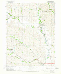
1964 Map of Raymond
USGS Topo · Published 1966About this map
Raymond sits at the junction of the Union Pacific railroad and Oak Creek, serving as a central hub for this rural Nebraska landscape during the early 1960s. The terrain is defined by a dense network of meandering waterways, including Little Salt Creek, Middle Oak Creek, and West Oak Creek, which carve through the distinct townships of West Oak, Little Salt, Elk, and Oak. The southern edge of the map reveals a shift from agriculture to military and institutional land use, dominated by the northern reaches of the Lincoln Air Force Base and the Westview County Home.
Find a feature on this map
23 named features on this map. Tap any name to fly to it.
Don’t see what you’re looking for? This feature index may not catch every label — zoom into the map to look around manually.
Map Details
Editions of this 1964 Raymond Map
2 editions found
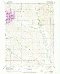
Other maps of this area

1897 · Lincoln
USGS Topo · 1:125,000

1899 · Wahoo
USGS Topo · 1:125,000

1955 · Fremont
USGS Topo · 1:250,000

1955 · Lincoln
USGS Topo · 1:250,000

1957 · Fremont
USGS Topo · 1:250,000

1957 · Lincoln
USGS Topo · 1:250,000

1958 · Fremont
USGS Topo · 1:250,000

1958 · Lincoln
USGS Topo · 1:250,000
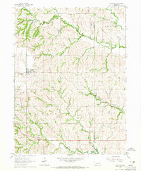
1964 · Garland
USGS Topo · 1:24,000
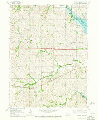
1964 · Pleasant Dale
USGS Topo · 1:24,000