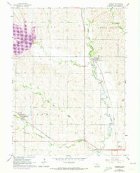
1964 Map of Raymond
USGS Topo · Published 1973About this map
Oak Creek meanders through the heart of this Lancaster County landscape, reflecting the agricultural and transit-oriented development of the mid-20th century. The village of Raymond serves as a focal point along the Union Pacific line, while the town of Malcolm is positioned further west near the Burlington Northern railroad. The map provides significant genealogical value through its documentation of rural institutions, such as School No 13 and multiple family and community burial grounds including St Pauls Cem and Oak Creek Cem.
Find a feature on this map
22 named features on this map. Tap any name to fly to it.
Don’t see what you’re looking for? This feature index may not catch every label — zoom into the map to look around manually.
Map Details
Editions of this 1964 Raymond Map
2 editions found
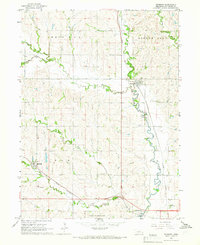
Other maps of this area

1897 · Lincoln
USGS Topo · 1:125,000

1899 · Wahoo
USGS Topo · 1:125,000

1955 · Fremont
USGS Topo · 1:250,000

1955 · Lincoln
USGS Topo · 1:250,000

1957 · Fremont
USGS Topo · 1:250,000

1957 · Lincoln
USGS Topo · 1:250,000

1958 · Fremont
USGS Topo · 1:250,000

1958 · Lincoln
USGS Topo · 1:250,000
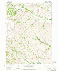
1964 · Garland
USGS Topo · 1:24,000
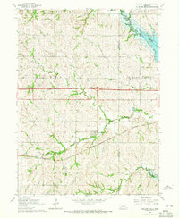
1964 · Pleasant Dale
USGS Topo · 1:24,000