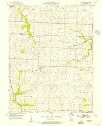
1954 Map of Raymore
USGS Topo · Published 1955About this map
Raymore serves as the central hub of this mid-century survey, situated at the intersection of several local townships along the Jackson Co Cass Co boundary. The landscape is defined by the headwaters of numerous creeks, including Lampkins Fork and Mouse Creek in the north, and Middle Big Creek to the east. These waterways carve through a terrain of agricultural tracts and gentle rises like Miller Hill. To the southwest, the St Louis San Francisco railroad corridor passes through Harrelson, anchoring the region's transport network during this period. For those researching local history, the map provides precise locations for the Raymore Cem and Bethany Ch, alongside smaller rural clusters such as Coleman near the southern border.
Find a feature on this map
20 named features on this map. Tap any name to fly to it.
Don’t see what you’re looking for? This feature index may not catch every label — zoom into the map to look around manually.
Map Details
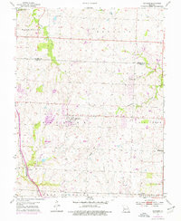
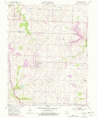
Editions of this 1954 Raymore Map
3 editions found
Other maps of this area

1887 · Harrisonville
USGS Topo · 1:125,000

1887 · Olathe
USGS Topo · 1:125,000

1892 · Harrisonville
USGS Topo · 1:125,000

1893 · Olathe
USGS Topo · 1:125,000

1894 · Harrisonville
USGS Topo · 1:125,000

1934 · Grandview
USGS Topo · 1:24,000

1934 · Lees Summit
USGS Topo · 1:24,000

1934 · Woods Chapel
USGS Topo · 1:24,000

1939 · Grandview
USGS Topo · 1:31,680

1939 · Lees Summit
USGS Topo · 1:31,680