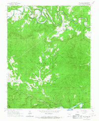
1966 Map of Rea Valley
USGS Topo · Published 1967About this map
The White River and Crooked Creek define the northern reaches of this Marion County landscape, winding through a complex system of hollows and ridges in the mid-1960s. The settlement at Rea Valley serves as a local hub near Hall Mountain, while the southern portion of the map transition into the drainage basin of the Buffalo River. This area is characterized by deep relief and family-named landmarks, reflecting a history of upland farming and resource extraction. Significant local landmarks include Wares Chapel and the Williams Cem, providing valuable points of reference for genealogists. Evidence of the region's mining heritage is visible in the south, particularly at the Rush Mine and other unnamed mine sites near Wilson Hollow. The network of narrow valleys, such as John Treat Hollow Creek and George Treat Hollow Creek, suggests a landscape where movement was historically dictated by the steep topography of Bearden Mountain and Hand Mountain.
Find a feature on this map
52 named features on this map. Tap any name to fly to it.
Don’t see what you’re looking for? This feature index may not catch every label — zoom into the map to look around manually.
Map Details
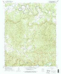
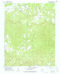
Editions of this 1966 Rea Valley Map
3 editions found
Other maps of this area

1890 · Mountain Home
USGS Topo · 1:125,000

1891 · Mountain Home
USGS Topo · 1:125,000

1893 · Yellville
USGS Topo · 1:125,000

1894 · Mountain Home
USGS Topo · 1:125,000

1903 · Yellville
USGS Topo · 1:125,000

1905 · Yellville
USGS Topo · 1:125,000

1929 · Yellville
USGS Topo · 1:125,000

1945 · Harrison
USGS Topo · 1:250,000

1949 · Harrison
USGS Topo · 1:250,000

1954 · Harrison
USGS Topo · 1:250,000