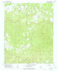
1966 Map of Rea Valley
USGS Topo · Published 1978About this map
White River and Crooked Creek define this landscape in Marion County, where the topography transitions from the high ridges of Hall Mountain and Hand Mountain down to the winding Buffalo River in the south. The 1966 field check records a rural network of named hollows and ridges, such as John Treat Hollow and Hoodum Ridge, reflecting deep-seated family ties to the land. Settlement is concentrated around the small community of Rea Valley, while the southern reaches of the map near the Buffalo River show evidence of industry and early development with the presence of Rush Mine and several smaller mining operations.
Find a feature on this map
44 named features on this map. Tap any name to fly to it.
Don’t see what you’re looking for? This feature index may not catch every label — zoom into the map to look around manually.
Map Details
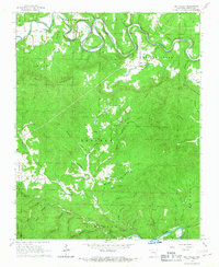
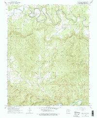
Editions of this 1966 Rea Valley Map
3 editions found
Other maps of this area

1890 · Mountain Home
USGS Topo · 1:125,000

1891 · Mountain Home
USGS Topo · 1:125,000

1893 · Yellville
USGS Topo · 1:125,000

1894 · Mountain Home
USGS Topo · 1:125,000

1903 · Yellville
USGS Topo · 1:125,000

1905 · Yellville
USGS Topo · 1:125,000

1929 · Yellville
USGS Topo · 1:125,000

1945 · Harrison
USGS Topo · 1:250,000

1949 · Harrison
USGS Topo · 1:250,000

1954 · Harrison
USGS Topo · 1:250,000