
1970 Map of Reader
USGS Topo · Published 1972About this map
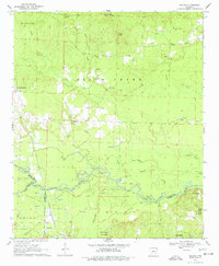
The Little Missouri River snakes through the southern reaches of this landscape, forming a natural boundary for Redland, Union, and Missouri townships. The timber-rich terrain is home to the Poison Spring State Forest and several small communities tied to the rail lines, including Reader, Sayre, and Whelen Springs. Cultural history is scattered across the uplands, marked by family and community sites like the Lewis Randolph Grave and the Bethlehem Cem near Bethlehem Ch.
Find a feature on this map
41 named features on this map. Tap any name to fly to it.
Don’t see what you’re looking for? This feature index may not catch every label — zoom into the map to look around manually.
Map Details
Editions of this 1970 Reader Map
2 editions found
Other maps of this area

1901 · Gurdon
USGS Topo · 1:125,000

1903 · Camden
USGS Topo · 1:125,000

1953 · El Dorado
USGS Topo · 1:250,000

1957 · El Dorado
USGS Topo · 1:250,000

1958 · El Dorado
USGS Topo · 1:250,000

1960 · El Dorado
USGS Topo · 1:250,000

1970 · Whelen Springs
USGS Topo · 1:24,000
1970 · Gurdon
USGS Topo · 1:24,000
1970 · Curtis
USGS Topo · 1:24,000

1971 · Tates Bluff
USGS Topo · 1:24,000