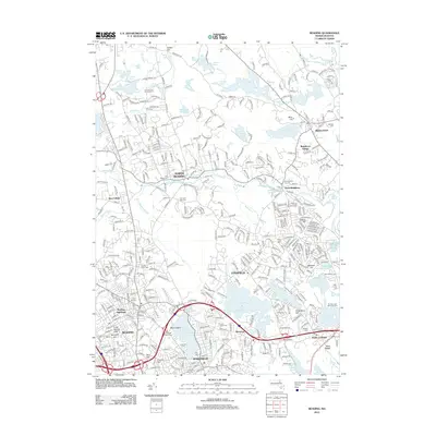
2012 Map of Reading
USGS Topo · Published 2012About this map
Lake Quannapowitt and the Saugus River define the southern landscape of this corridor north of Boston, where the towns of Reading, Wakefield, and Lynnfield meet. The geography is marked by a complex network of glacial ponds and wetlands, including Martins Pond, Pillings Pond, and the Ipswich River Reservoir. To the north, the Ipswich River meanders past North Reading and South Middleton, while the Harold Parker Rd area provides a glimpse into the managed conservation land near Brackett Pond.
Find a feature on this map
381 named features on this map. Tap any name to fly to it.
Don’t see what you’re looking for? This feature index may not catch every label — zoom into the map to look around manually.
Map Details
Editions of this 2012 Reading Map
This is the sole edition of this map. No revisions or reprints were ever made.
Other maps of this area

1886 · Lawrence
USGS Topo · 1:62,500

1888 · Lawrence
USGS Topo · 1:62,500

1888 · Salem
USGS Topo · 1:62,500

1892 · Boston Bay
USGS Topo · 1:62,500

1893 · Salem
USGS Topo · 1:62,500

1893 · Boston
USGS Topo · 1:62,500

1893 · Lawrence
USGS Topo · 1:62,500

1903 · Boston
USGS Topo · 1:62,500

1903 · Boston Bay
USGS Topo · 1:62,500

1917 · Salem
USGS Topo · 1:62,500