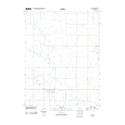
2009 Map of Reading
USGS Topo · Published 2009About this map
Reading sits at the southern edge of this Osage County landscape, where the local road network converges near the banks of Mud Creek. The town's layout is clearly defined by several streets, including 1st St, while the surrounding rural area is marked by a high density of named watercourses. The Marais des Cygnes River winds through the central portion of the map, fed by a complex drainage system that includes One Hundred and Forty-two Mile Creek and Elm Creek. To the northeast, the smaller settlement of Barclay anchors the corner of the survey near Cherry Creek. This 2009 USGS record provides a detailed look at the rural cemetery placement in this part of Kansas, identifying Reading Cemetery, Mount Calvary Cemetery, and Barclay Cemetery. The terrain is defined by its numerous tributary systems, such as Duck Creek and Mute Creek, which shape the agricultural parcels and county line roads.
Find a feature on this map
36 named features on this map. Tap any name to fly to it.
Don’t see what you’re looking for? This feature index may not catch every label — zoom into the map to look around manually.
Map Details
Editions of this 2009 Reading Map
This is the sole edition of this map. No revisions or reprints were ever made.
Other maps of this area

1885 · Eskridge
USGS Topo · 1:125,000

1885 · Burlington
USGS Topo · 1:125,000

1888 · Emporia
USGS Topo · 1:125,000

1889 · Burlingame
USGS Topo · 1:125,000

1889 · Eskridge
USGS Topo · 1:125,000

1894 · Emporia
USGS Topo · 1:125,000

1894 · Eskridge
USGS Topo · 1:125,000

1894 · Burlingame
USGS Topo · 1:125,000

1894 · Burlington
USGS Topo · 1:125,000

1947 · Lawrence
USGS Topo · 1:250,000