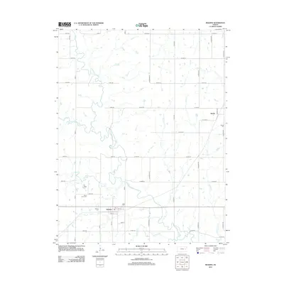
2012 Map of Reading
USGS Topo · Published 2012About this map
The Marais des Cygnes River meanders through this Osage County landscape, defining the local geography alongside numerous tributaries like One Hundred and Forty-two Mile Cr and Duck Cr. The town of Reading serves as a primary local hub, where a Po and two distinct burial grounds, Reading Cem and Mount Calvary Cem, reflect the community's history. To the northeast, the settlement of Barclay sits near its namesake Barclay Cem, connected by a grid of rural roads like S Valencia Rd and S Davis Rd. The southeastern corner shows the upper reaches of Melvern Lake, where Standiford Cr and Cherry Cr contribute to the basin. This survey documents the well-organized section lines and creek drainage patterns that have shaped eastern Kansas agriculture and township development.
Find a feature on this map
47 named features on this map. Tap any name to fly to it.
Don’t see what you’re looking for? This feature index may not catch every label — zoom into the map to look around manually.
Map Details
Editions of this 2012 Reading Map
This is the sole edition of this map. No revisions or reprints were ever made.
Other maps of this area

1885 · Eskridge
USGS Topo · 1:125,000

1885 · Burlington
USGS Topo · 1:125,000

1888 · Emporia
USGS Topo · 1:125,000

1889 · Burlingame
USGS Topo · 1:125,000

1889 · Eskridge
USGS Topo · 1:125,000

1894 · Emporia
USGS Topo · 1:125,000

1894 · Eskridge
USGS Topo · 1:125,000

1894 · Burlingame
USGS Topo · 1:125,000

1894 · Burlington
USGS Topo · 1:125,000

1947 · Lawrence
USGS Topo · 1:250,000