
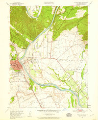
1951 Map of Red Bluff East
USGS Topo · Published 1952About this map
The Sacramento River carves a winding path through this northern California landscape, defining the character of Red Bluff and its surrounding agricultural reaches. This 1951 survey shows a community organized around the Southern Pacific rail lines and the river's complex system of sloughs, including Samson Slough, Sand Slough, and East Slough. Cultural landmarks such as the William B Ide Adobe State Historical Mon and the County Fair Grounds highlight the area's civic and historic identity during the early 1950s.
Find a feature on this map
51 named features on this map. Tap any name to fly to it.
Don’t see what you’re looking for? This feature index may not catch every label — zoom into the map to look around manually.
Map Details
Editions of this 1951 Red Bluff East Map
5 editions found
Other maps of this area

1890 · Red Bluff
USGS Topo · 1:250,000

1894 · Red Bluff
USGS Topo · 1:250,000

1905 · Tehama
USGS Topo · 1:62,500

1944 · Tuscan Buttes
USGS Topo · 1:62,500

1947 · Tuscan Buttes
USGS Topo · 1:62,500

1947 · Anderson
USGS Topo · 1:62,500

1948 · Anderson
USGS Topo · 1:62,500

1950 · Gerber
USGS Topo · 1:24,000

1951 · Gerber
USGS Topo · 1:24,000

1951 · West of Gerber
USGS Topo · 1:24,000