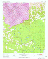
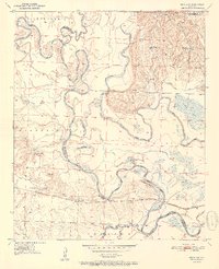
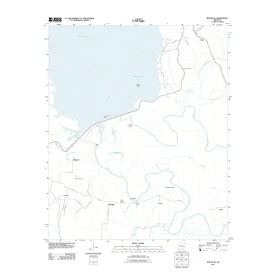
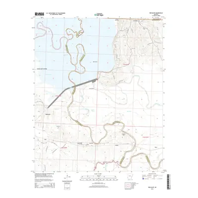
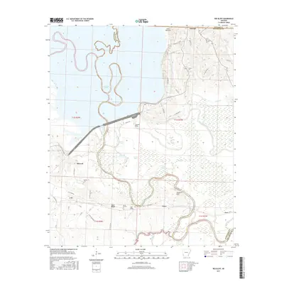
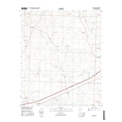
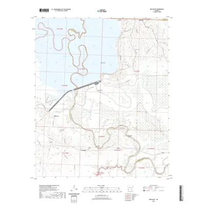
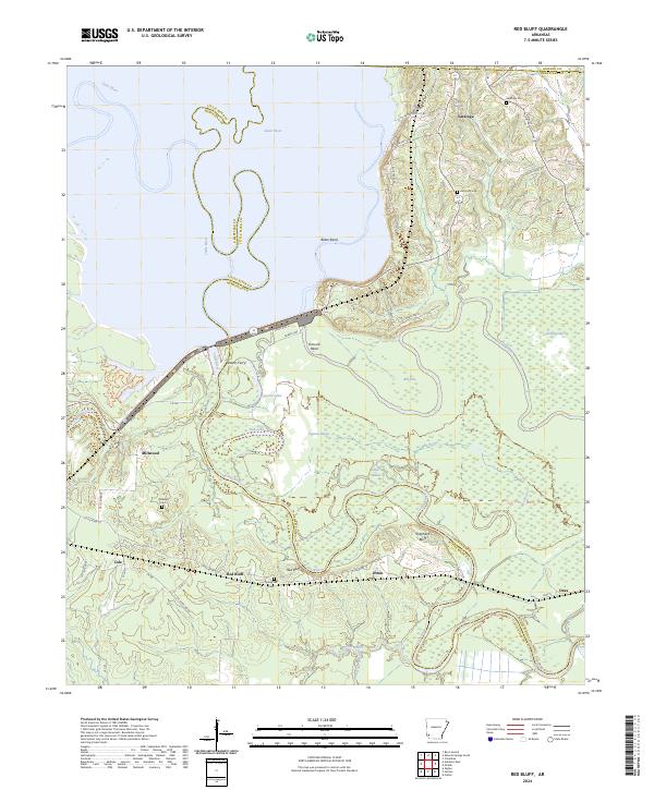
1950 Map of Red Bluff
USGS Topo · Published 1976About this map
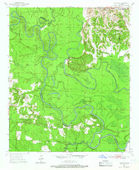
The Little River and its complex network of sloughs and bayous define the landscape along the Little River and Hempstead County line. This 1950 survey, photorevised in 1975, documents the expansion of Millwood Lake, with purple revisions indicating the updated shoreline and water levels as of February 1975. Near the settlement of Saratoga, local history is anchored by the Saratoga Cemetery, Christian Church, and Mt Olive Church.
Find a feature on this map
44 named features on this map. Tap any name to fly to it.
Don’t see what you’re looking for? This feature index may not catch every label — zoom into the map to look around manually.
Map Details
Editions of this 1950 Red Bluff Map
2 editions found
Historical Maps of Cole Through Time
32 maps found
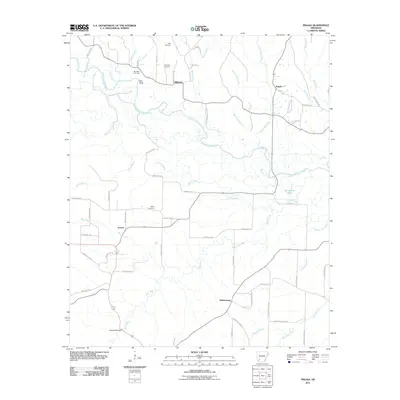
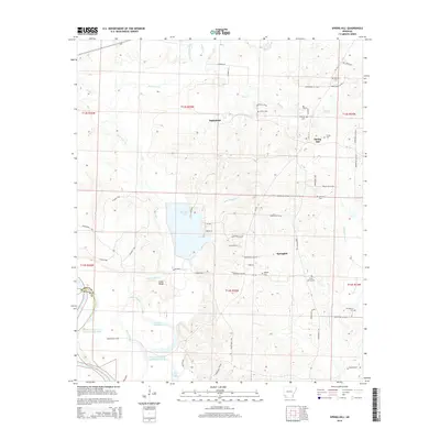
1950 Red Bluff
Hempstead County, AR
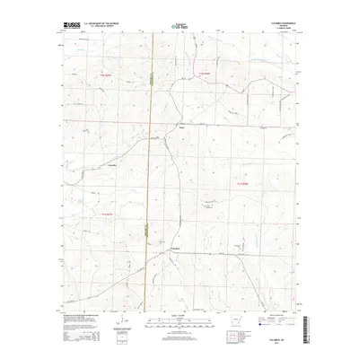
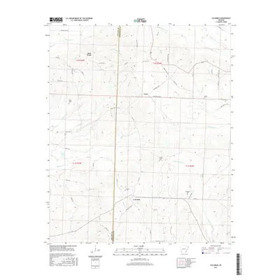
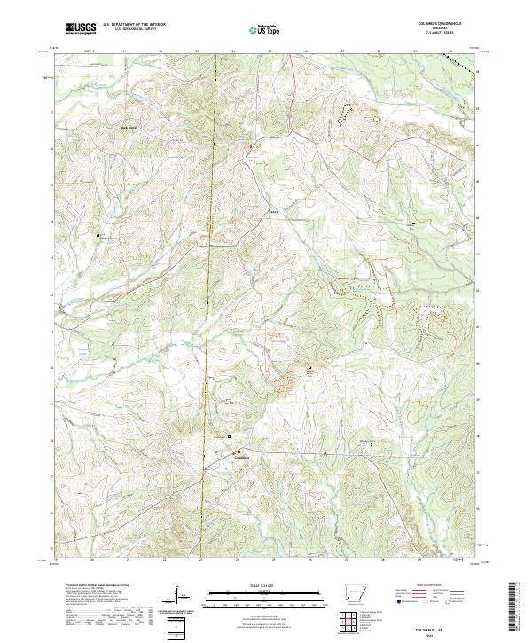
1951 Columbus
Hempstead County, AR
1951 Mc Nab
Hempstead County, AR

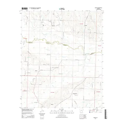
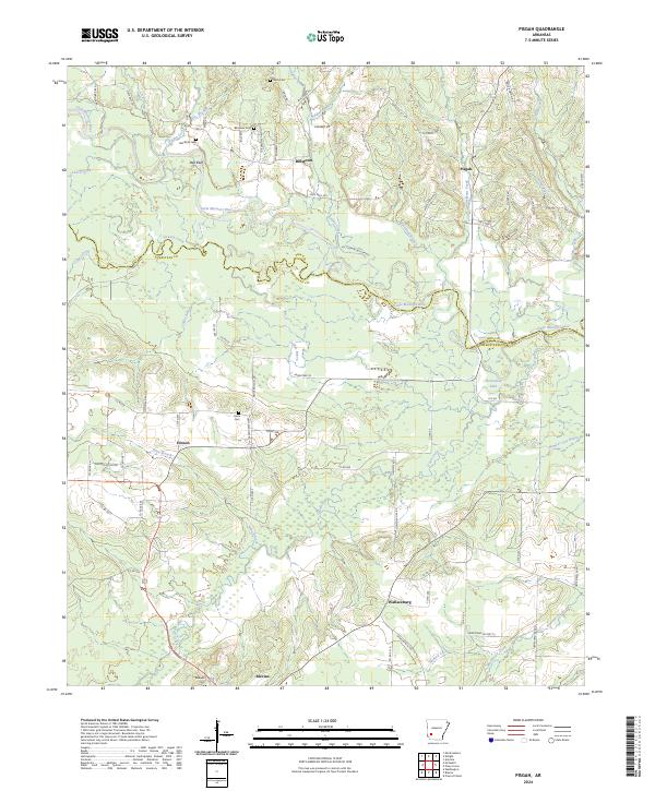
1951 Pisgah
Hempstead County, AR
1951 Red Bluff
Hempstead County, AR
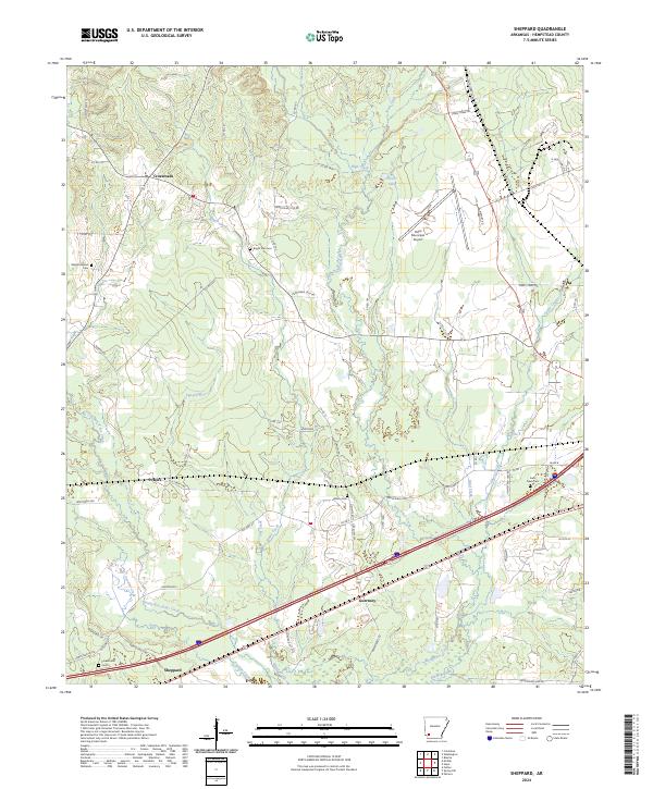
1951 Sheppard
Hempstead County, AR
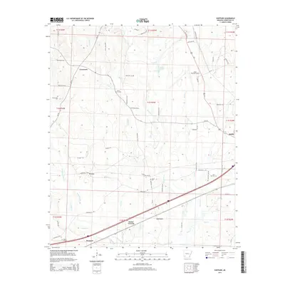
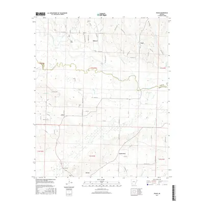
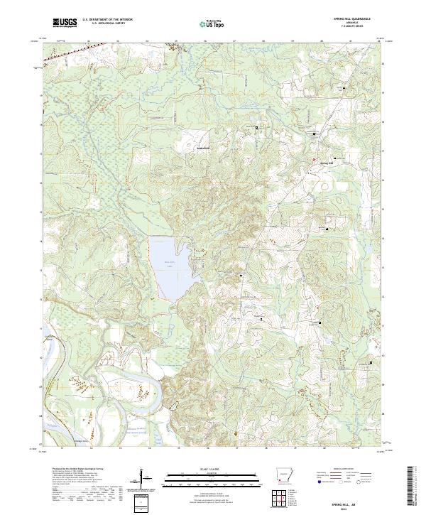
1951 Spring Hill
Hempstead County, AR
2011 Columbus
Hempstead County, AR
2011 Pisgah
Hempstead County, AR
2011 Red Bluff
Hempstead County, AR
2011 Sheppard
Hempstead County, AR
2011 Spring Hill
Hempstead County, AR
2014 Columbus
Hempstead County, AR
2014 Pisgah
Hempstead County, AR
2014 Red Bluff
Hempstead County, AR
2014 Sheppard
Hempstead County, AR
2014 Spring Hill
Hempstead County, AR
2017 Columbus
Hempstead County, AR
2017 Pisgah
Hempstead County, AR
2017 Red Bluff
Hempstead County, AR
2017 Sheppard
Hempstead County, AR
2017 Spring Hill
Hempstead County, AR
2020 Columbus
Hempstead County, AR
2020 Pisgah
Hempstead County, AR
2020 Red Bluff
Hempstead County, AR
2020 Sheppard
Hempstead County, AR
2020 Spring Hill
Hempstead County, AR
2024 Columbus
Hempstead County, AR
2024 Pisgah
Hempstead County, AR
2024 Red Bluff
Hempstead County, AR
2024 Sheppard
Hempstead County, AR
2024 Spring Hill
Hempstead County, AR