
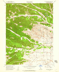
1951 Map of Red Bluff West
USGS Topo · Published 1952About this map
The western outskirts of Red Bluff and the surrounding ranch lands of Tehama County are captured here just after the mid-century. The landscape is defined by the drainage basins of Reeds Creek and Dibble Creek, which flow eastward toward the Sacramento River. This survey illustrates the early aviation and social infrastructure of the region, featuring Bidwell Airport and the nearby County Hospital. Educational centers like Marion Sch and Lincoln Sch serve the rural population, while the Southern Pacific railroad corridor cuts across the northeastern corner. In the southern reaches, the distinctive La Barranca Colorada sits near the banks of Red Bank Creek, providing a clear look at the area's natural landmarks and early property divisions before modern suburban expansion transformed the outskirts of the county seat.
Find a feature on this map
28 named features on this map. Tap any name to fly to it.
Don’t see what you’re looking for? This feature index may not catch every label — zoom into the map to look around manually.
Map Details
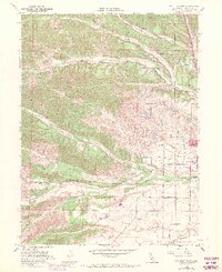
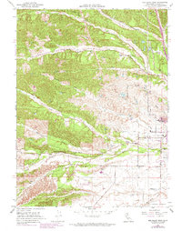
Editions of this 1951 Red Bluff West Map
4 editions found
Other maps of this area

1890 · Red Bluff
USGS Topo · 1:250,000

1894 · Red Bluff
USGS Topo · 1:250,000

1905 · Tehama
USGS Topo · 1:62,500

1944 · Tuscan Buttes
USGS Topo · 1:62,500

1947 · Tuscan Buttes
USGS Topo · 1:62,500

1947 · Anderson
USGS Topo · 1:62,500

1948 · Anderson
USGS Topo · 1:62,500

1950 · Gerber
USGS Topo · 1:24,000

1951 · Gerber
USGS Topo · 1:24,000

1951 · Red Bluff East
USGS Topo · 1:24,000