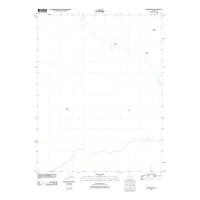
2011 Map of Red Breaks
USGS Topo · Published 2011About this map
The Escalante River winds through this terrain in Garfield County, Utah, defining a landscape of deep drainages and named topographic landmarks. The map documents the intricate natural geography of the region, where features such as Death Hollow and The Gulch converge toward the river system. Named for its distinct geological formations, the Red Breaks area is positioned in the southwestern portion of the map, while Horse Canyon and the uniquely identified The V provide clear points of reference for navigating this unpopulated expanse. This 2011 survey, based on 2009 imagery and hydrography data, provides a clear view of the watercourses and landforms before modern digital shifts, making it a valuable tool for understanding the physical layout of these specific canyons.
Find a feature on this map
6 named features on this map. Tap any name to fly to it.
Don’t see what you’re looking for? This feature index may not catch every label — zoom into the map to look around manually.
Map Details
Editions of this 2011 Red Breaks Map
This is the sole edition of this map. No revisions or reprints were ever made.
Other maps of this area

1886 · Escalante
USGS Topo · 1:250,000

1953 · Circle Cliffs 4 NW
USGS Topo · 1:24,000

1953 · Circle Cliffs 1 SW
USGS Topo · 1:24,000

1953 · Circle Cliffs 4 SW
USGS Topo · 1:24,000

1953 · Moody Creek
USGS Topo · 1:62,500
1953 · Wagon Box Mesa
USGS Topo · 1:62,500

1956 · Escalante
USGS Topo · 1:250,000

1960 · Escalante
USGS Topo · 1:250,000

1964 · Sunset Flat
USGS Topo · 1:24,000

1964 · Tenmile Flat
USGS Topo · 1:24,000