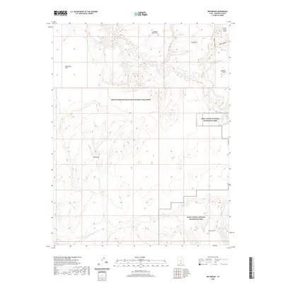
2020 Map of Red Breaks
USGS Topo · Published 2020About this map
The Escalante River carves through this high desert region of Garfield County, marking a landscape defined by deep drainages and elevated plateaus. Much of the area falls within the Grand Staircase-Escalante National Monument, where dramatic terrain features like the Red Breaks and the steep-walled Death Hollow dominate the topography. The map illustrates a complex network of canyons and benches, including Brigham Tea Bench and King Bench, which reflect the localized naming conventions of the Utah backcountry.
Find a feature on this map
13 named features on this map. Tap any name to fly to it.
Don’t see what you’re looking for? This feature index may not catch every label — zoom into the map to look around manually.
Map Details
Editions of this 2020 Red Breaks Map
This is the sole edition of this map. No revisions or reprints were ever made.
Other maps of this area

1886 · Escalante
USGS Topo · 1:250,000

1953 · Circle Cliffs 4 NW
USGS Topo · 1:24,000

1953 · Circle Cliffs 1 SW
USGS Topo · 1:24,000

1953 · Circle Cliffs 4 SW
USGS Topo · 1:24,000

1953 · Moody Creek
USGS Topo · 1:62,500
1953 · Wagon Box Mesa
USGS Topo · 1:62,500

1956 · Escalante
USGS Topo · 1:250,000

1960 · Escalante
USGS Topo · 1:250,000

1964 · Sunset Flat
USGS Topo · 1:24,000

1964 · Tenmile Flat
USGS Topo · 1:24,000