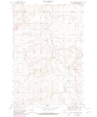
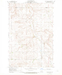
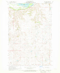
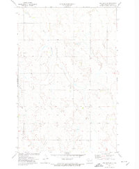
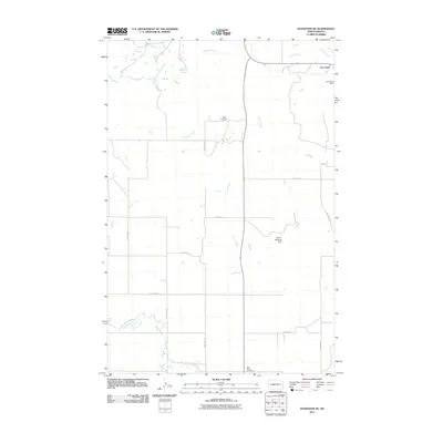
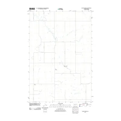
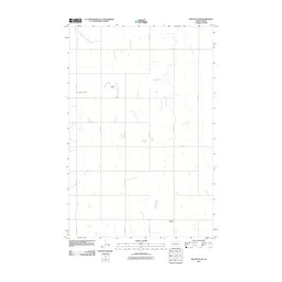
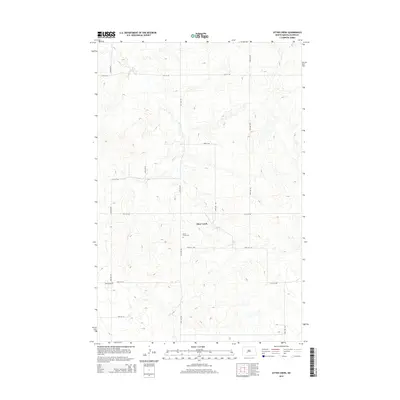
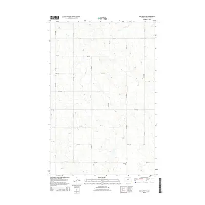
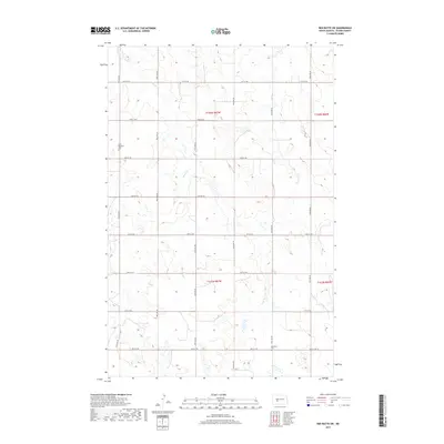
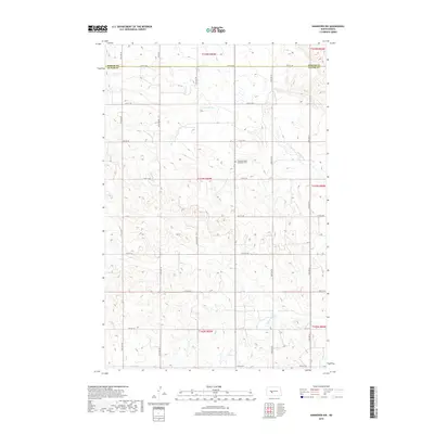
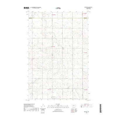
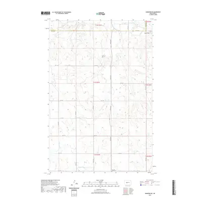
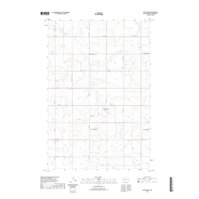
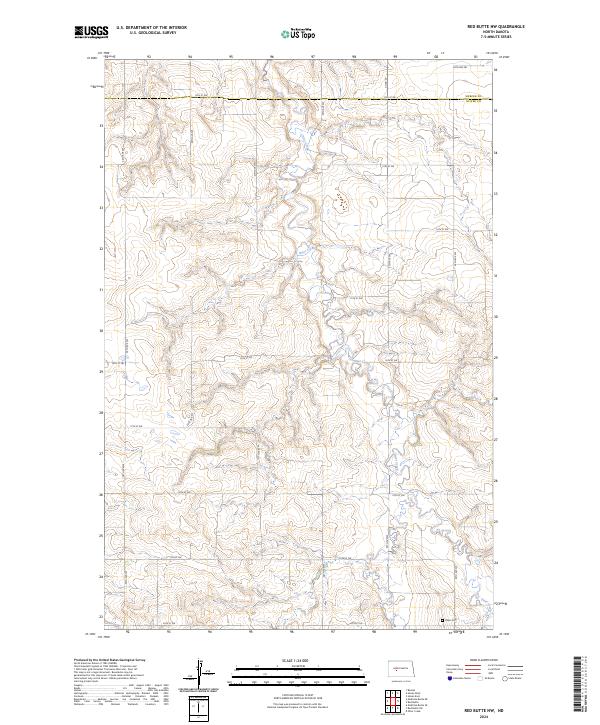
1968 Map of Red Butte NW
USGS Topo · Published 1980About this map
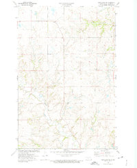
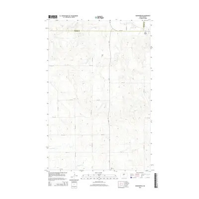
Otter Creek meanders through the heart of the North Dakota prairie, marking the quiet, agrarian landscape across the border of Mercer Co and Oliver Co. During this late 1960s period, the area remained defined by its rural infrastructure, featuring several sites labeled Well or Flowing Well and an industrial Gravel Pit. The map captures a high degree of section-line detail, including a prominent pipeline and numerous fence and field lines that delineate the region's ranching and farming history. Local heritage is grounded in sites such as the Rhein Cem and an additional unnamed cemetery, providing essential points of interest for genealogists tracing early families in this stretch of the Great Plains. In the southern reach of the survey, Brush Cr cuts through the terrain, further illustrating the drainage patterns that shaped local land use.
Find a feature on this map
9 named features on this map. Tap any name to fly to it.
Don’t see what you’re looking for? This feature index may not catch every label — zoom into the map to look around manually.
Map Details
Editions of this 1968 Red Butte NW Map
2 editions found
Historical Maps of Oliver County Through Time
72 maps found
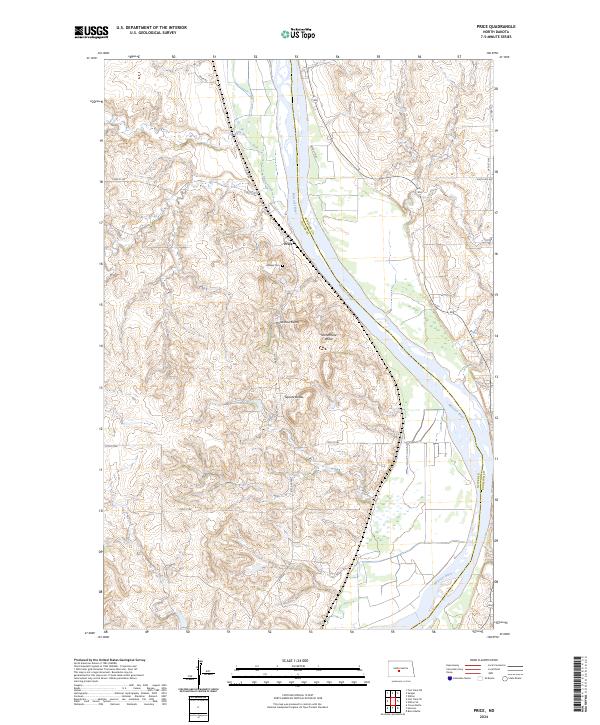
1966 Price
Oliver County, ND
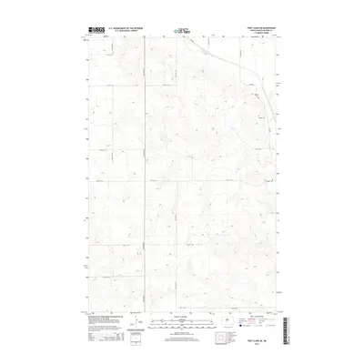
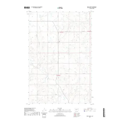
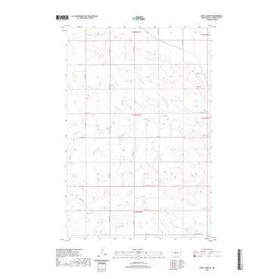
1968 Fort Clark NE
Oliver County, ND
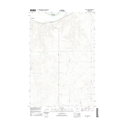
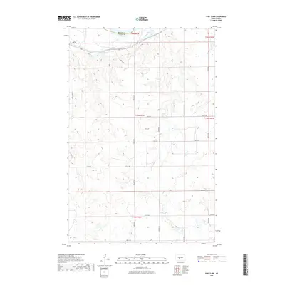
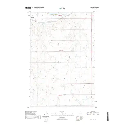
1968 Fort Clark
Oliver County, ND
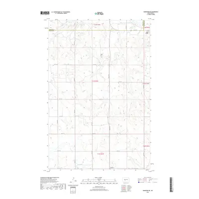
1968 Hannover NE
Oliver County, ND
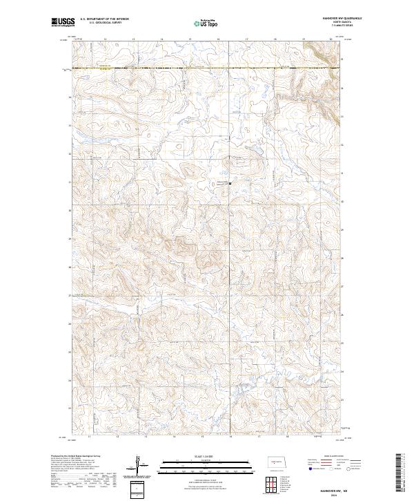
1968 Hannover NW
Oliver County, ND
1968 Red Butte NW
Oliver County, ND
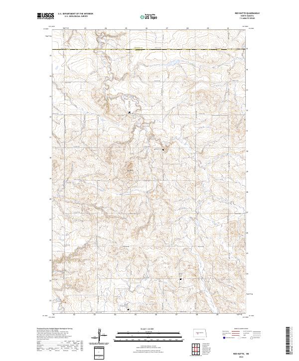
1968 Red Butte
Oliver County, ND
1972 Fort Clark SE
Oliver County, ND
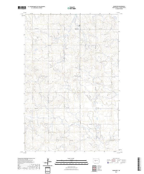
1972 Hannover
Oliver County, ND
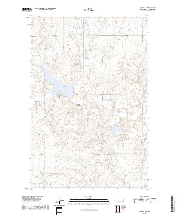
1972 Nelson Lake
Oliver County, ND
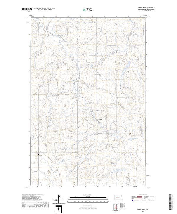
1972 Otter Creek
Oliver County, ND
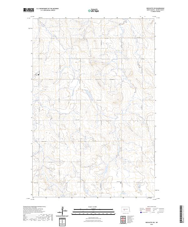
1972 Red Butte SW
Oliver County, ND
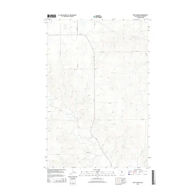
2011 Fort Clark NE
Oliver County, ND
2011 Fort Clark
Oliver County, ND
2011 Fort Clark SE
Oliver County, ND
2011 Hannover NE
Oliver County, ND
2011 Hannover NW
Oliver County, ND
2011 Hannover
Oliver County, ND
2011 Nelson Lake
Oliver County, ND
2011 Otter Creek
Oliver County, ND
2011 Price
Oliver County, ND
2011 Red Butte NW
Oliver County, ND
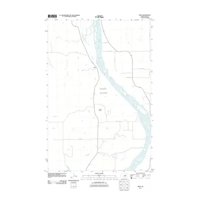
2011 Red Butte
Oliver County, ND
2011 Red Butte SW
Oliver County, ND
2014 Fort Clark NE
Oliver County, ND
2014 Fort Clark
Oliver County, ND
2014 Fort Clark SE
Oliver County, ND
2014 Hannover NE
Oliver County, ND
2014 Hannover NW
Oliver County, ND
2014 Hannover
Oliver County, ND
2014 Nelson Lake
Oliver County, ND
2014 Otter Creek
Oliver County, ND
2014 Price
Oliver County, ND
2014 Red Butte NW
Oliver County, ND
2014 Red Butte
Oliver County, ND
2014 Red Butte SW
Oliver County, ND
2017 Fort Clark NE
Oliver County, ND
2017 Hannover
Oliver County, ND
2017 Nelson Lake
Oliver County, ND
2017 Red Butte SW
Oliver County, ND
2018 Fort Clark
Oliver County, ND
2018 Fort Clark SE
Oliver County, ND
2018 Hannover NE
Oliver County, ND
2018 Hannover NW
Oliver County, ND
2018 Otter Creek
Oliver County, ND
2018 Price
Oliver County, ND
2018 Red Butte NW
Oliver County, ND
2018 Red Butte
Oliver County, ND
2020 Fort Clark NE
Oliver County, ND
2020 Fort Clark
Oliver County, ND
2020 Fort Clark SE
Oliver County, ND
2020 Hannover NE
Oliver County, ND
2020 Hannover NW
Oliver County, ND
2020 Hannover
Oliver County, ND
2020 Nelson Lake
Oliver County, ND
2020 Otter Creek
Oliver County, ND

2020 Price
Oliver County, ND
2020 Red Butte NW
Oliver County, ND
2020 Red Butte
Oliver County, ND
2020 Red Butte SW
Oliver County, ND
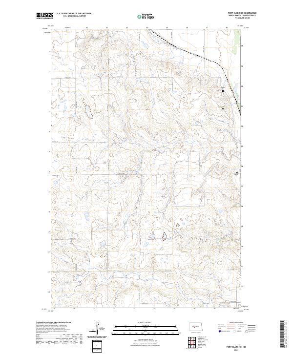
2024 Fort Clark NE
Oliver County, ND
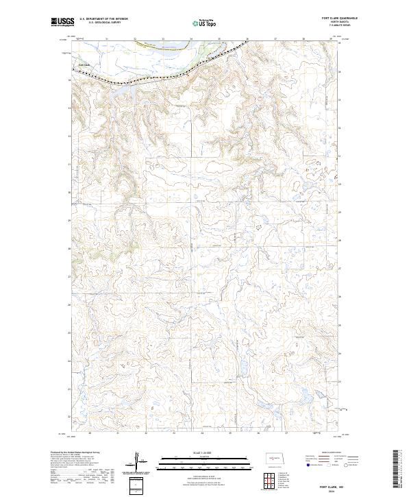
2024 Fort Clark
Oliver County, ND
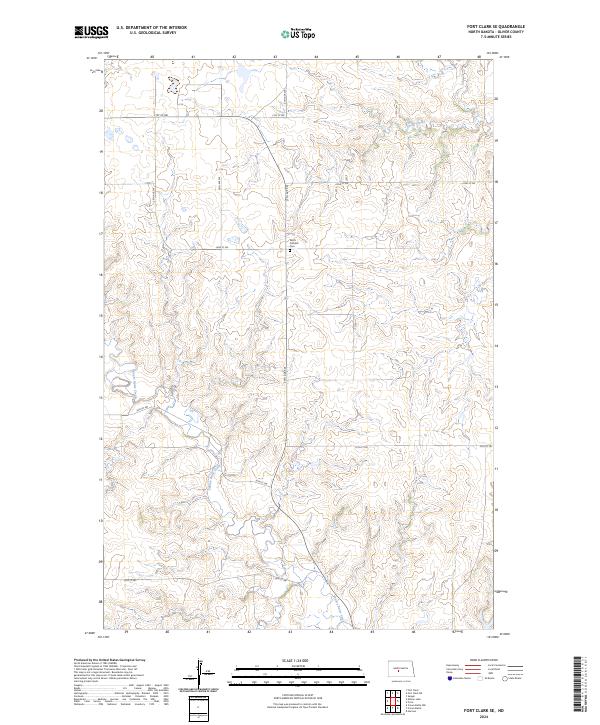
2024 Fort Clark SE
Oliver County, ND
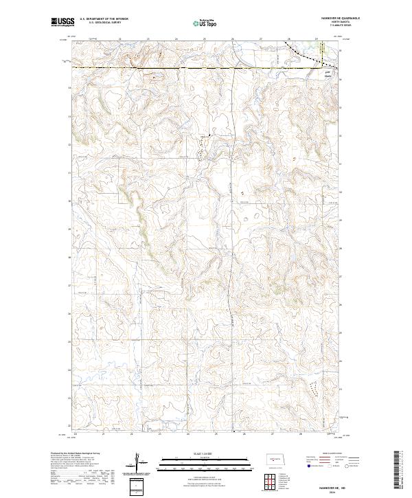
2024 Hannover NE
Oliver County, ND
2024 Hannover NW
Oliver County, ND
2024 Hannover
Oliver County, ND
2024 Nelson Lake
Oliver County, ND
2024 Otter Creek
Oliver County, ND
2024 Price
Oliver County, ND
2024 Red Butte NW
Oliver County, ND
2024 Red Butte
Oliver County, ND
2024 Red Butte SW
Oliver County, ND