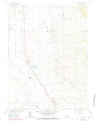
1963 Map of Red Buttes
USGS Topo · Published 1978About this map
The Overland Trail cuts diagonally across this high plains landscape, tracing a historic path of western migration south of Laramie. This 1963 survey, updated through 1978, illustrates a region defined by extensive ranching operations and water management. Numerous family-named holdings such as the Monolith Hunziker Ranch, Lembeke Ranch, and Willow Creek Ranch are connected by a network of unimproved roads and jeep trails, while the Union Pacific railroad corridor serves as a primary industrial artery.
Find a feature on this map
37 named features on this map. Tap any name to fly to it.
Don’t see what you’re looking for? This feature index may not catch every label — zoom into the map to look around manually.
Map Details
Editions of this 1963 Red Buttes Map
2 editions found
Other maps of this area

1895 · Laramie
USGS Topo · 1:125,000

1902 · Laramie
USGS Topo · 1:125,000

1905 · Sherman
USGS Topo · 1:125,000

1905 · Laramie
USGS Topo · 1:125,000

1906 · Laramie
USGS Topo · 1:125,000

1908 · Laramie
USGS Topo · 1:125,000

1948 · Sherman Mountains
USGS Topo · 1:62,500

1948 · Ragged Top Mountain
USGS Topo · 1:62,500

1950 · Ragged Top Mountain
USGS Topo · 1:62,500

1950 · Sherman Mountains
USGS Topo · 1:62,500