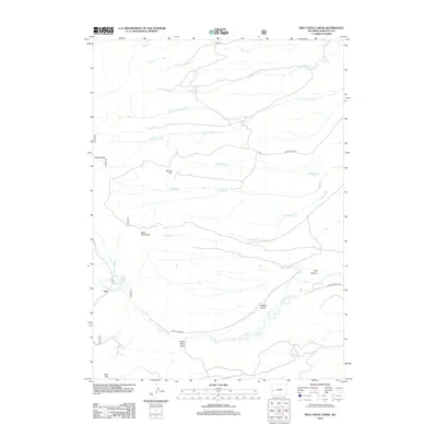
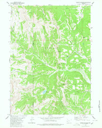
2012 Map of Red Castle Creek
USGS Topo · Published 2012About this map
Red Castles and the unusual Apple Green Geyser define this high-altitude landscape in the Wyoming wilderness. The terrain is a complex network of drainage basins, with Red Castle Creek and Little Cottonwood Creek flowing through the northern reaches, while the south is dominated by the deeply carved Red Canyon and Dutch Dans Gulch. This 2012 survey illustrates the sparse human footprint in this part of Sublette County, characterized primarily by remote access routes like Round Hill Path and Red Canyon Rd. The naming conventions here, such as Alcohol Draw and Whiskey Creek, suggest a colorful local history of travelers and high-country exploration. Prominent peaks including Round Hill and Bald Mountain serve as essential landmarks for navigating the high ridges between the various forks of Muddy Creek.
Find a feature on this map
23 named features on this map. Tap any name to fly to it.
Don’t see what you’re looking for? This feature index may not catch every label — zoom into the map to look around manually.
Map Details
Editions of this 2012 Red Castle Creek Map
This is the sole edition of this map. No revisions or reprints were ever made.
Other maps of this area

1921 · Afton
USGS Topo · 1:125,000

1939 · Big Piney
USGS Topo · 1:125,000

1942 · Big Piney
USGS Topo · 1:125,000

1955 · Preston
USGS Topo · 1:250,000

1958 · Preston
USGS Topo · 1:250,000

1962 · Preston
USGS Topo · 1:250,000
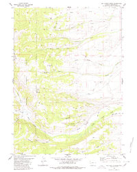
1980 · Red Castle Creek
USGS Topo · 1:24,000
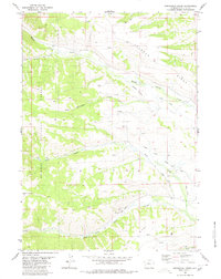
1980 · Springman Creek
USGS Topo · 1:24,000
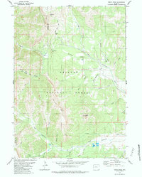
1980 · Triple Peak
USGS Topo · 1:24,000
1980 · Mount Schidler
USGS Topo · 1:24,000