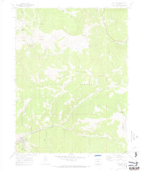
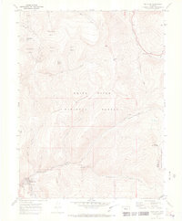
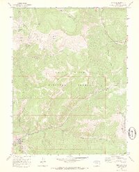
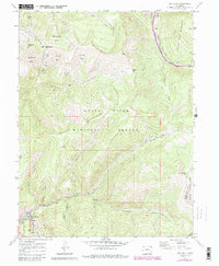
1970 Map of Red Cliff
USGS Topo · Published 1973About this map
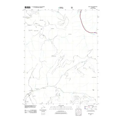
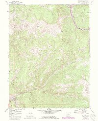
Red Cliff sits along the Eagle River at the junction of the D & R G W railroad and the Shrine Pass Road, serving as a critical point of development in the high country of the White River National Forest. The landscape is dominated by mining activity and natural geography, featuring the Hornsilver Mine and Liberty Mine tucked into the slopes near town. High-elevation bowls such as Northeast Bowl, Sundown Bowl, and Teacup Bowl define the northern terrain near Mid Vail, while the southern reaches rise toward Iron Mtn and Shrine Mountain. This 1970 survey records a landscape shaped by both extraction and early recreation, evidenced by the proximity of industrial sites like a Kiln and the rugged passes leading toward the Arapaho National Forest boundary.
Find a feature on this map
38 named features on this map. Tap any name to fly to it.
Don’t see what you’re looking for? This feature index may not catch every label — zoom into the map to look around manually.
Map Details
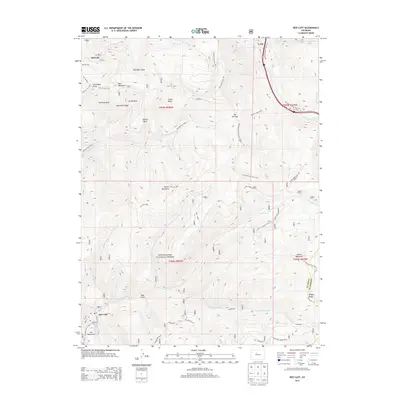
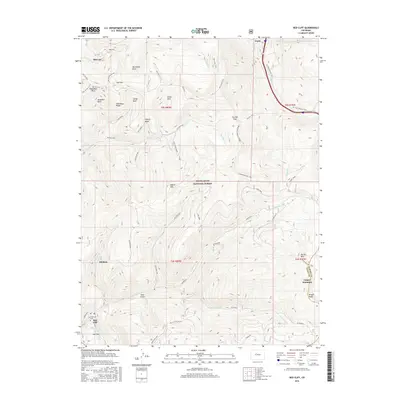
Editions of this 1970 Red Cliff Map
5 editions found
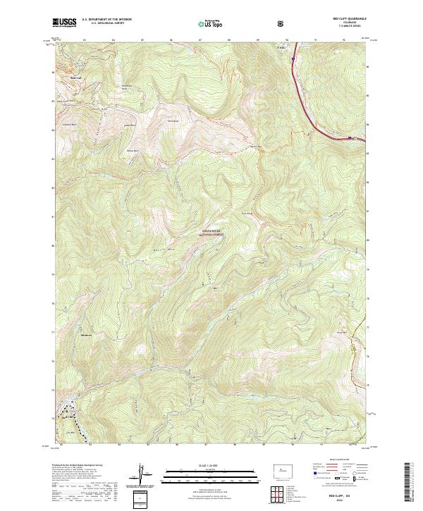
Historical Maps of Vail Through Time
6 maps found