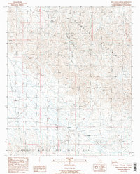
1986 Map of Red Cloud Canyon
USGS Topo · Published 1986About this map
Mining operations and military reservations define this high-desert landscape in the Chuckwalla Mountains during the mid-1980s. The northern portion of the quadrangle is marked by hard-rock history, including the Red Cloud Mine, Model Mine, and Great Western Mine, along with numerous unidentified prospects scattered through the canyons. These sites highlight a legacy of mineral exploration in a region where water sources like Crystal Springs were essential for survival and operations.
Find a feature on this map
21 named features on this map. Tap any name to fly to it.
Don’t see what you’re looking for? This feature index may not catch every label — zoom into the map to look around manually.
Map Details
Editions of this 1986 Red Cloud Canyon Map
2 editions found
Other maps of this area

1940 · Frink
USGS Topo · 1:62,500

1940 · Iris Pass
USGS Topo · 1:62,500

1940 · Canyon Spring
USGS Topo · 1:62,500

1943 · Canyon Spring
USGS Topo · 1:62,500

1944 · Chuckwalla Mountains
USGS Topo · 1:62,500

1944 · Frink
USGS Topo · 1:62,500

1945 · Iris Pass
USGS Topo · 1:62,500

1954 · Salton Sea
USGS Topo · 1:250,000

1955 · Salton Sea
USGS Topo · 1:250,000
1956 · Frink
USGS Topo · 1:62,500