Loading...
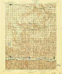
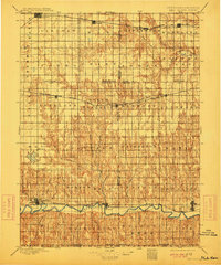
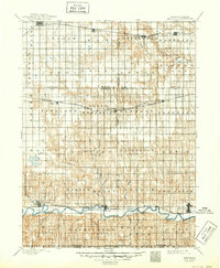
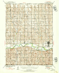
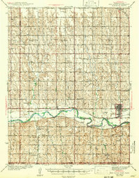
Loading map...1897 Map of Red Cloud
USGS Topo · Published 1940About this map
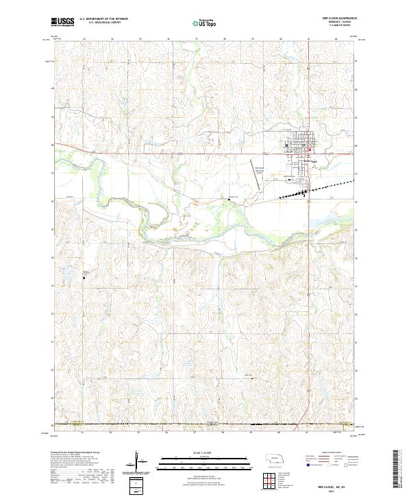
The Republican River valley defines the southern corridor of this late nineteenth-century Nebraska landscape, where the settlement of Red Cloud serves as a vital rail and river junction. Surveyed by R.M. Towson, the terrain transitions from the river bottomlands into the dissected uplands of southern Nebraska and northern Kansas. The mapping reveals a developing transit network with the Union Pacific crossing through Minden in the north and the Burlington and Missouri River railroad paralleling the water to the south.
Find a feature on this map
51 named features on this map. Tap any name to fly to it.
Don’t see what you’re looking for? This feature index may not catch every label — zoom into the map to look around manually.
Map Details
Date Portrayed1897
Date Published1940
PublisherU.S. Geological Survey
Map TypeTopographic
Scale1:125,000
Physical Dimensions16.5 x 19.8 inches
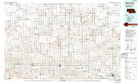
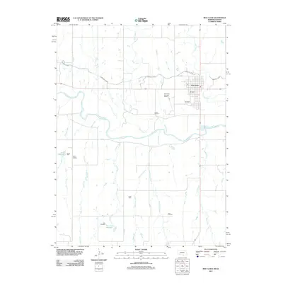
Editions of this 1897 Red Cloud Map
4 editions found

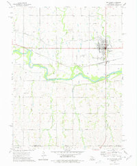
Historical Maps of Minden Through Time
9 maps found
Featured Locations
Source Details
SourceU.S. Geological Survey
CopyrightPublic Domain