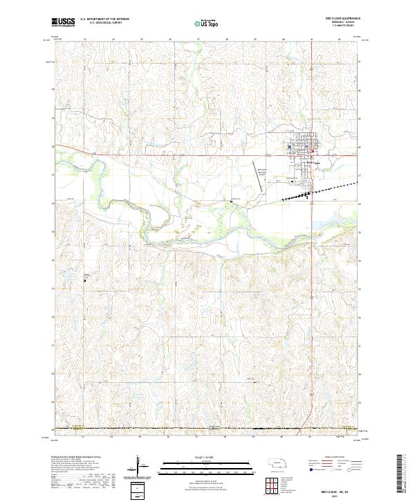
1897 Map of Red Cloud
USGS Topo · Published 1949About this map
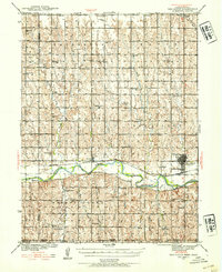
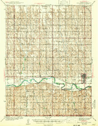
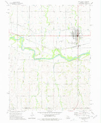
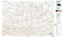
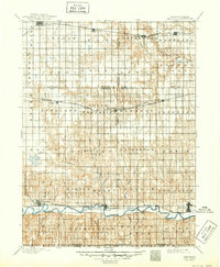
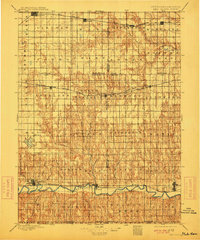
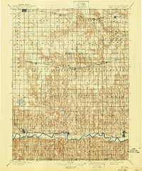
Red Cloud and the surrounding Nebraska prairie are depicted here during a pivotal era of late-19th-century expansion. The landscape is defined by the valley of the Republican River, where early settlements like Franklin, Riverton, and Inavale follow the river's course and the tracks of the Burlington and Missouri River R. R. To the north, the Union Pacific R. R. cuts through Minden and Norman, showing how two competing rail systems dictated the growth of trade centers across Kearney, Adams, Franklin, and Webster counties. The map captures a grid-like pattern of townships including Antelope, Harmony, and Battin, reflecting the systematic surveying of the Great Plains. Water sources like Silver Lake and Thompson Creek are key landmarks in this primarily agricultural region just north of the Nebraska-Kansas border.
Find a feature on this map
62 named features on this map. Tap any name to fly to it.
Don’t see what you’re looking for? This feature index may not catch every label — zoom into the map to look around manually.
Map Details
Editions of this 1897 Red Cloud Map
4 editions found

Historical Maps of Minden Through Time
9 maps found