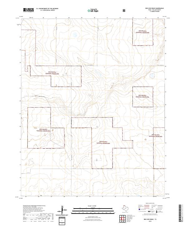
2022 Map of Red Cow Draw
USGS Topo · Published 2022About this map
Rita Blanca National Grassland dominates this high plains landscape in Dallam County, showcasing the vast open-range management of the Texas Panhandle. The terrain is defined by the subtle drainage of Red Cow Draw, which winds through the central portion of the quadrangle. The map details a network of rural routes that provide access to this remote rangeland, including Andy James Rd and the evocatively named E High Lonesome Ln.
Find a feature on this map
9 named features on this map. Tap any name to fly to it.
Don’t see what you’re looking for? This feature index may not catch every label — zoom into the map to look around manually.
Map Details
Editions of this 2022 Red Cow Draw Map
This is the sole edition of this map. No revisions or reprints were ever made.
Other maps of this area

1954 · Dalhart
USGS Topo · 1:250,000

1958 · Dalhart
USGS Topo · 1:250,000

1962 · Dalhart
USGS Topo · 1:250,000

1964 · Stratford 2 SE
USGS Topo · 1:24,000

1964 · Stratford 2 NE
USGS Topo · 1:24,000

1965 · Wilco NE
USGS Topo · 1:24,000

1973 · Stratford 2 NW
USGS Topo · 1:24,000

1973 · Bolin NE
USGS Topo · 1:24,000

1973 · Coldwater East
USGS Topo · 1:24,000
1973 · Pritchard Ranch
USGS Topo · 1:24,000